Description
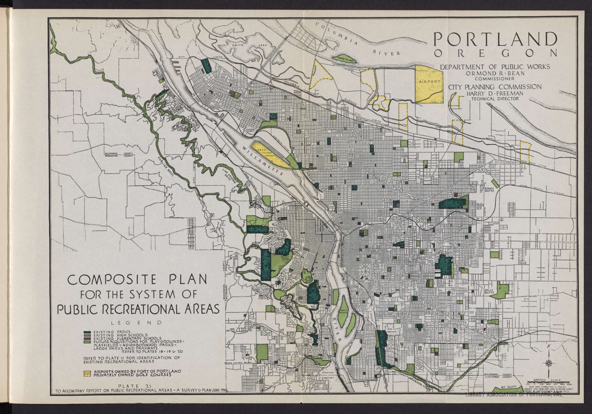
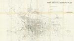
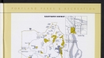
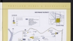
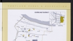
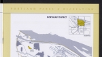
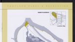
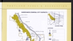
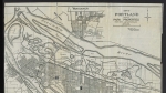
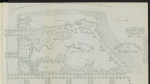
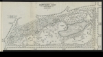
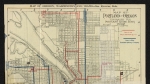
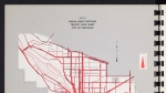
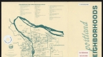
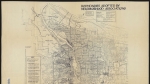
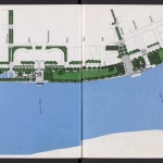
Map from a June 1936 report, showing existing parks, schools, airports and golf courses, as well as properties the city planned to acquire for future recreational areas. Skyline Boulevard and Lief Erickson Drive are shown as planned acquisitions; they wind through the area that would later become Forest Park.
Download Files
Related content


Collections with this item
Details
Transcription
Digital Publisher
Subject.Topic
Subject.Place
Language
Rights & Usage
Rights undetermined (the copyright and related rights status of this work is unknown).
Identifier
- XXmap_000181
Type
Date.Range
Format.Original
File format
Shelf.Location
- OREGON 711 P83s
Add new comment