Description
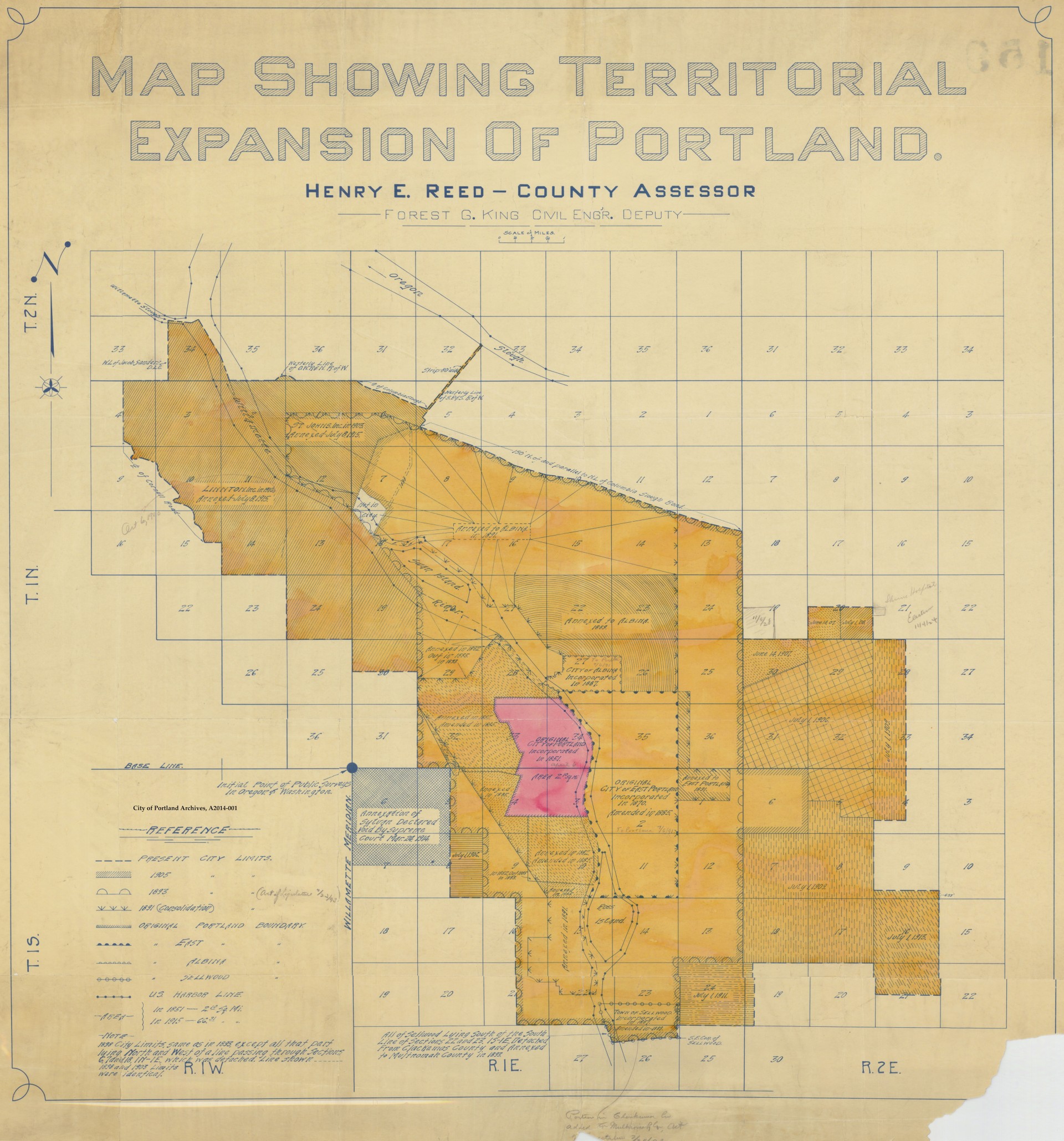
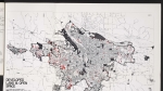
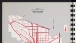
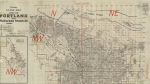
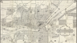
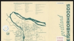
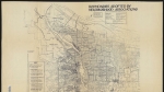
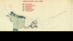
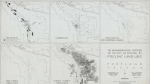
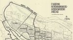
Map of annexations to the city of Portland, drawn around 1915. Roads and streets are not marked. Instead, the land is described using the Public Land Survey System, with township, range and section lines marked on the map. The area inside the original 1851 Portland city limits is shown in pink. The former extent of the cities of Albina, East Portland, Sellwood, Linnton and St. Johns are indicated, with the dates they were incorporated as independent cities. These cities were annexed into Portland at different times, and their annexation dates are not noted. However, the map does show Portland city boundaries in specific years: 1891, 1893, 1905 and present city limits (circa 1915). Unincorporated areas that were added to the city at various times are also are marked, with their annexation dates. Visit City of Portland Archives for more https://efiles.portlandoregon.gov/record/16566
Download Files

Related content


Collections with this item
Details
Contributors
Digital Publisher
Subject.Place
Language
Rights & Usage
Public domain (this work is believed to be free of known restrictions under copyright law).
Identifier
- PUmap_000003
Type
Date.Created
December 31, 1915
Date.Range
Format.Original
File format
Shelf.Location
- A2014-001, M/10247
Add new comment