Description
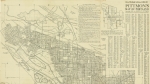
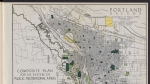
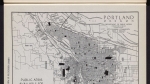
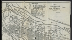
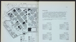
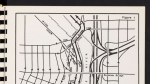
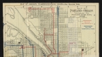
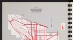
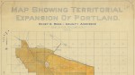
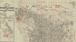
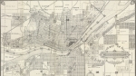
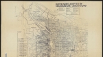
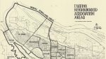
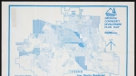
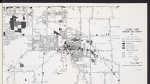
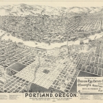
Five maps illustrating land use in Portland: industrial, commercial, apartments and boarding houses, duplexes, and single-family houses. Land uses and city limits on the map are shown as they were around 1934. Prepared by the City Planning Commission for their 1936 Report on Public Recreational Areas. Visit City of Portland Archives for more https://efiles.portlandoregon.gov/Record/16728.
Related content


Collections with this item
Details
Contributors
Digital Publisher
Subject.Topic
Subject.Place
Language
Rights & Usage
Rights undetermined (the copyright and related rights status of this work is unknown).
Identifier
- PUmap_000010
Type
Date.Range
Format.Original
File format
Shelf.Location
- M/10409
Add new comment