Description
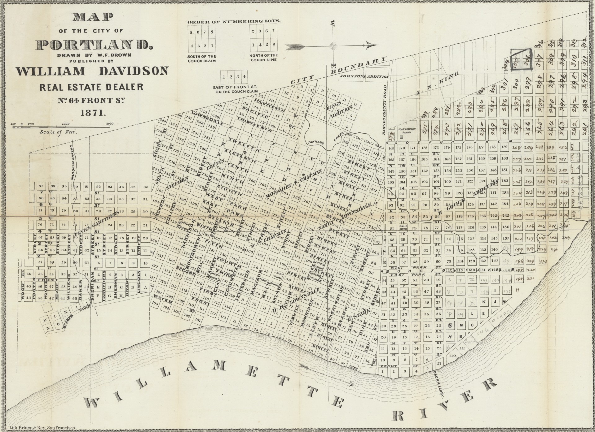
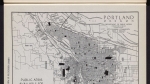
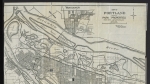
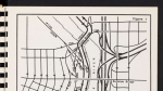
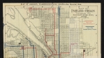
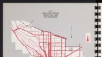
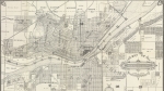
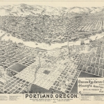
Map of Portland, dated 1871, showing street names and city boundaries. The Willamette River, Tanner Creek and Marquam Creek are noted on the map, as is the Oregon and California Railroad ferry across the Willamette.
Download Files
Related content


Collections with this item
Details
Creator
Contributors
Digital Publisher
Subject.Topic
Subject.Place
Language
Rights & Usage
Public domain (this work is believed to be free of known restrictions under copyright law).
Identifier
- JWmap_000002
Add new comment