Description
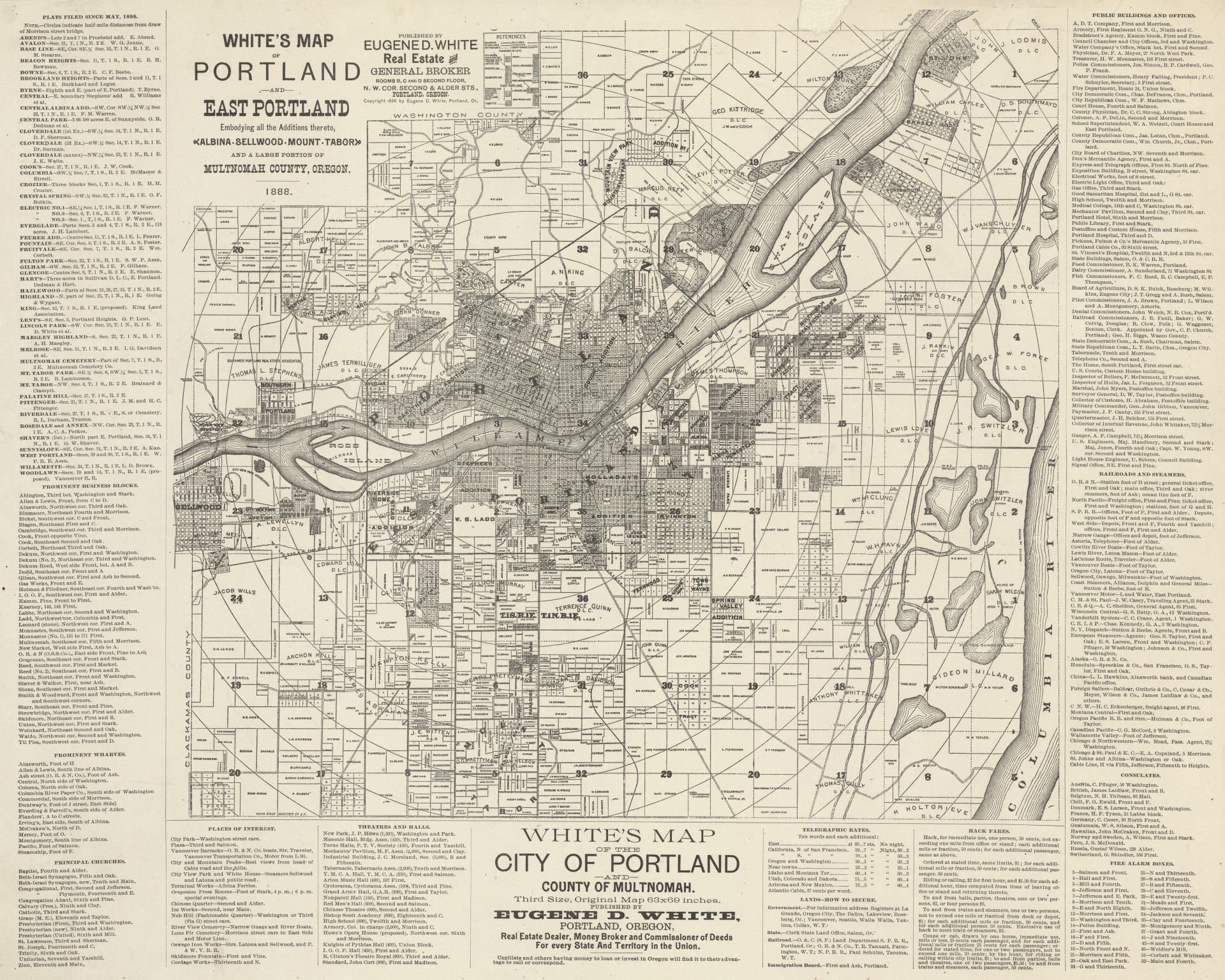
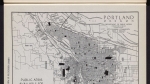
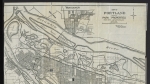
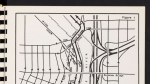
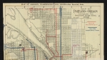
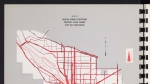
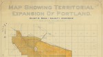
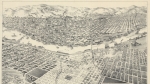
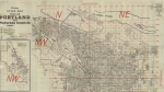
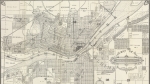
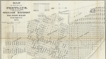
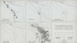
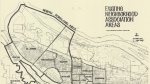
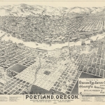
Map of the cities of Portland and East Portland, and the surrounding area, dated 1888. Donation land claims; township, range and section; street names; parks; and names of landowners are noted. Willamette River bridges and ferries are labelled. Subdivisions, such as Couch's Addition, Holladay's Addition, Albina Homestead, Patton's Tract and St. John are named. A single Columbia River ferry, the Vancouver Ferry, is shown. Many railroad lines are also marked on the map. Details about many of these features are spelled out in the sidebars.
Download Files
Related content


Collections with this item
Details
Contributors
Digital Publisher
Subject.Topic
Subject.Place
Language
Rights & Usage
Public domain (this work is believed to be free of known restrictions under copyright law).
Identifier
- JWmap_000008
Add new comment