Description
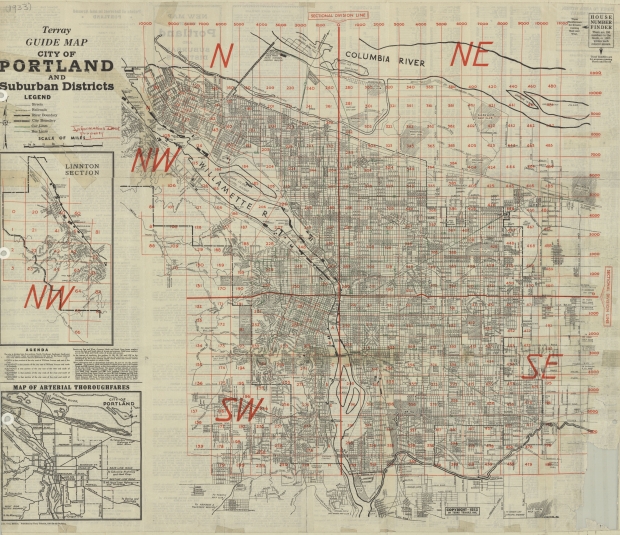
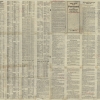
June, 1933 street map of the city of Portland, featuring an inset map of the Linnton neighborhood, and another inset map showing arterial streets and highways. This map was published right after Portland implemented a new street/address system, in which the city was divided into five sections, each labeled with a directional (N, NE, etc.). A house number finder shows a grid pattern of address numbers in red, which is significant because most address numbers in the city had just been radically changed. The map shows the city's boundaries, streetcar and bus lines, and the course of Johnson Creek from SE 122nd to the Willamette River. Swan Island Municipal Airport, the main public airport of this era, is also noted.
Download Files
Collections with this item
Details
Extent
- 2 images
Contributors
Digital Publisher
Subject.Topic
Subject.Place
Language
Rights & Usage
Rights undetermined (the copyright and related rights status of this work is unknown).
Identifier
- JWmap_000006


Add new comment