Description
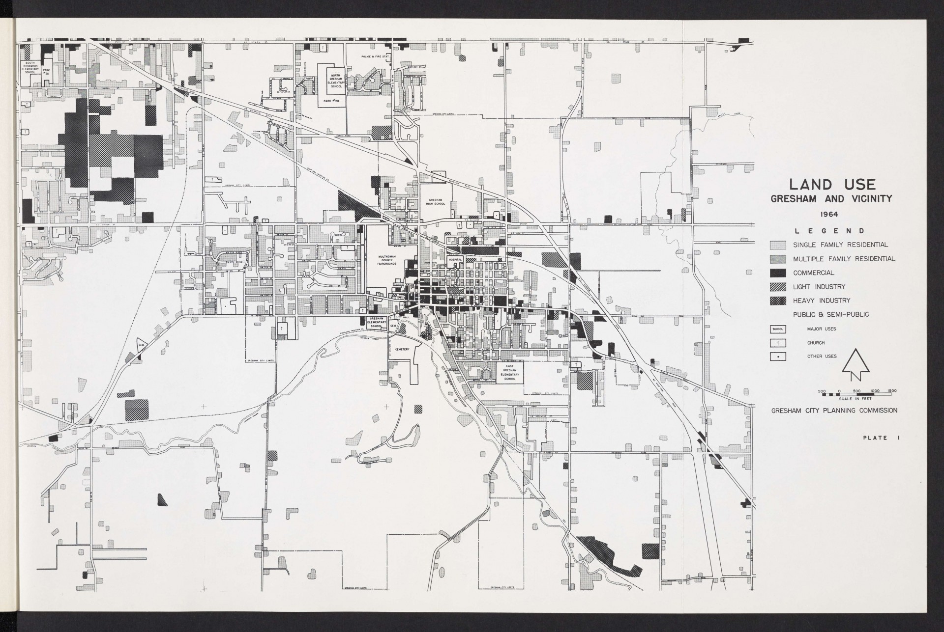
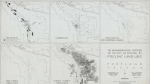
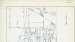
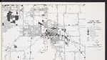
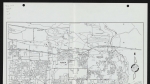
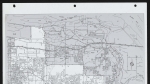
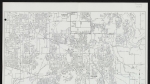
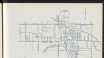
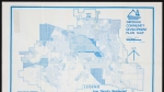
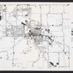
A map of Gresham, Oregon from 1964 showing land use information. Shading indicates residential, commercial and industrial zones in and around the city of Gresham. Schools, churches, hospitals, cemeteries, railroads, the Multnomah County Fairgrounds and Johnson Creek are all marked.
Download Files
Related content
Collections with this item

Details
Transcription
Contributors
Digital Publisher
Subject.Topic
Subject.Place
Language
Rights & Usage
Rights undetermined (the copyright and related rights status of this work is unknown).
Identifier
- XXmap_000084
Type
Date.Range
Format.Original
File format
Shelf.Location
- OREGON 710 O66ps
Add new comment