-
- Still Image
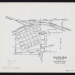
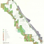
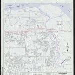
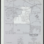
Gresham communi...
-
- Still Image
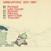
Annexations 197...
-
- Still Image
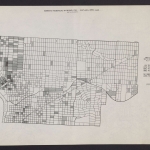
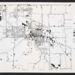
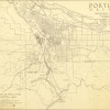
Distribution of...
-
- Still Image
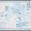
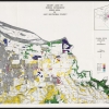
Vacant land by...
-
- Still Image
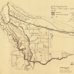
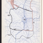
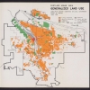
Portland urban...
-
- Still Image
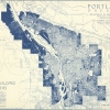
Undeveloped are...
-
- Still Image
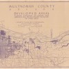
Multnomah Count...
-
- Still Image
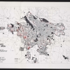
Developed land...
-
- Still Image
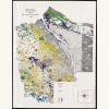
Vacant land by...
-
- Still Image
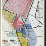
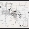
Land use Gresha...
-
- Still Image
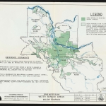
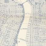
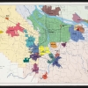
City county bou...
Description
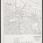
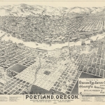
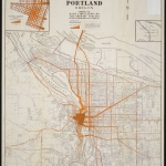
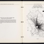
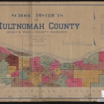
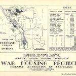
Oregon’s pioneering 1973 land use law created a statewide system for land use planning, requiring local governments to regulate zoning in accordance with state-level goals. Under the law, urban areas like Portland are required to set an “urban growth boundary” to contain urban and suburban development. Outside the boundary, open space and agricultural land is preserved. Portland’s urban growth boundary extends into Multnomah, Clackamas and Washington counties, and is administered by the regional government Metro.
Physical copies of many items in this collection are held by Multnomah County Library. However, the library does not hold the copyright to these items. Copyright usually resides with the creator(s) of the items. Any information about copyright for items in this collection will be noted in the metadata and Rights & Usage field for each item.
The copyright law of the United States (Title 17, United States Code) governs the making of photocopies or other reproductions of copyrighted material. It is the responsibility of any users of this digital collection to determine whether their intended use of an item is acceptable under copyright law.
If you are a copyright holder for an item on this website that is not properly identified, please contact us. When contacting us about an item in this collection, please include the identifier for the item (e.g., XXmap_000041).

