-
- Still Image
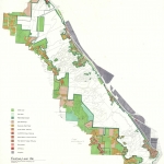
The First Natio...
-
- Still Image
Portland Harbor...
-
- Still Image
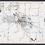
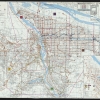
Transportation...
-
- Still Image
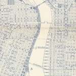
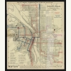
Map of Portland...
-
- Still Image
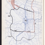
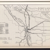
Routing of inte...
-
- Still Image
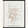
Recommended dow...
-
- Still Image
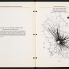
Mass transit pa...
-
- Still Image
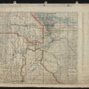
The Willamette...
-
- Still Image
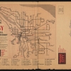
Rosy: always cl...
-
- Still Image
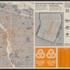
Tri-Met route m...
-
- Still Image
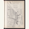
Existing transi...
-
- Still Image
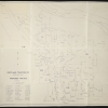
Proposed routes...
Pages
Description
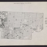
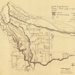
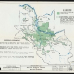
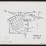
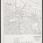
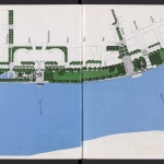
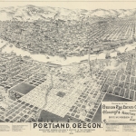
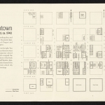
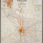
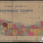
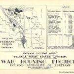
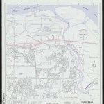
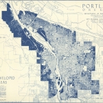
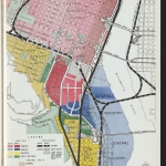
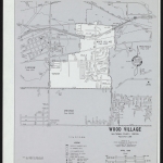
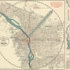
Streetcars, buses and other forms of public transit began operating in the Portland area in the 1870s. Nearly a century later, in 1969, the Oregon legislature consolidated local transit through their creation of the Tri-County Metropolitan Transportation District of Oregon--now called TriMet. This collection includes both practical maps designed for the traveling public, and planning maps used by public agencies as they considered the development of new infrastructure and services.
Physical copies of many items in this collection are held by Multnomah County Library. However, the library does not hold the copyright to these items. Copyright usually resides with the creator(s) of the items. Any information about copyright for items in this collection will be noted in the metadata and Rights & Usage field for each item.
The copyright law of the United States (Title 17, United States Code) governs the making of photocopies or other reproductions of copyrighted material. It is the responsibility of any users of this digital collection to determine whether their intended use of an item is acceptable under copyright law.
If you are a copyright holder for an item on this website that is not properly identified, please contact us. When contacting us about an item in this collection, please include the identifier for the item (e.g., XXmap_000041).

