Description
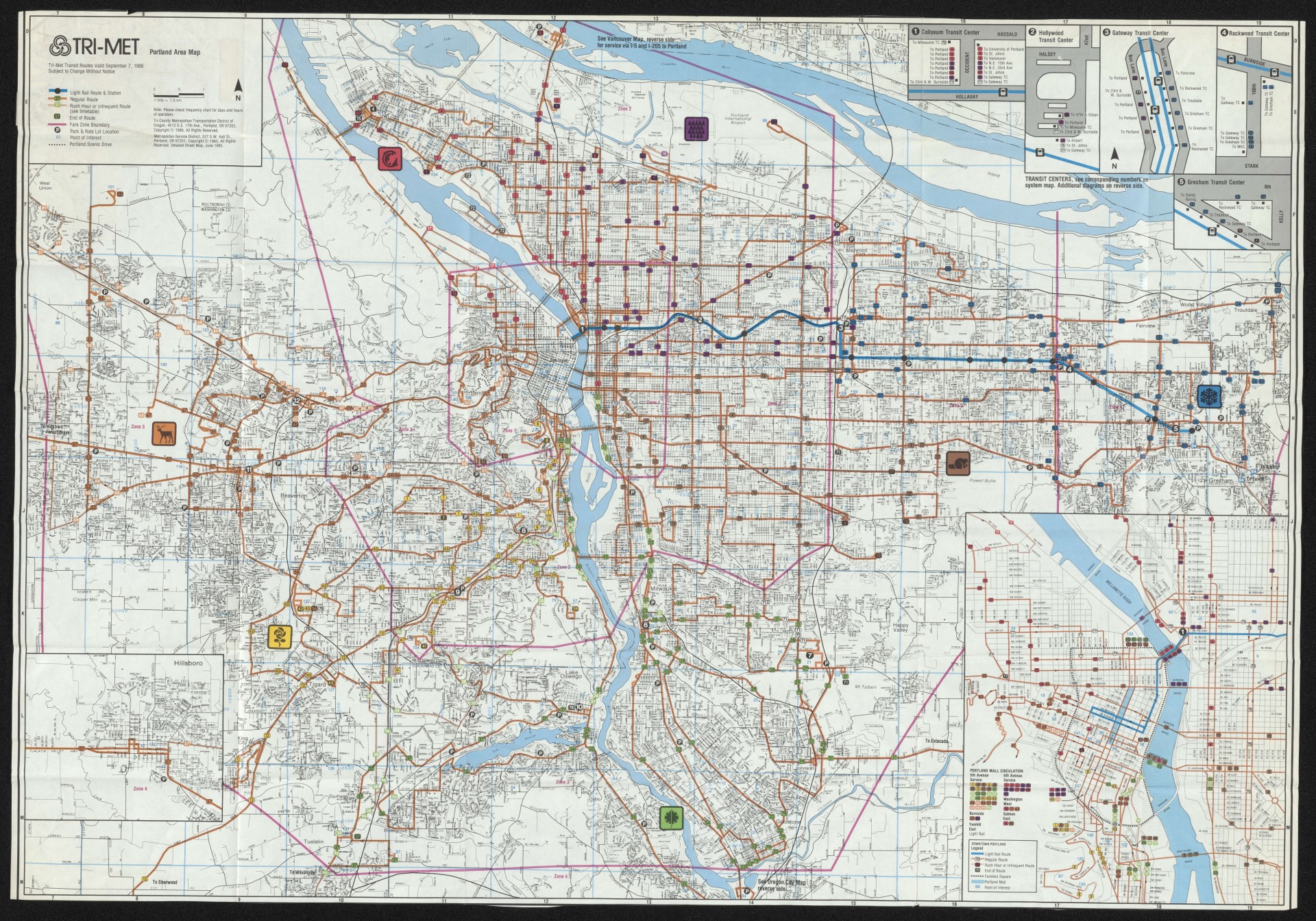
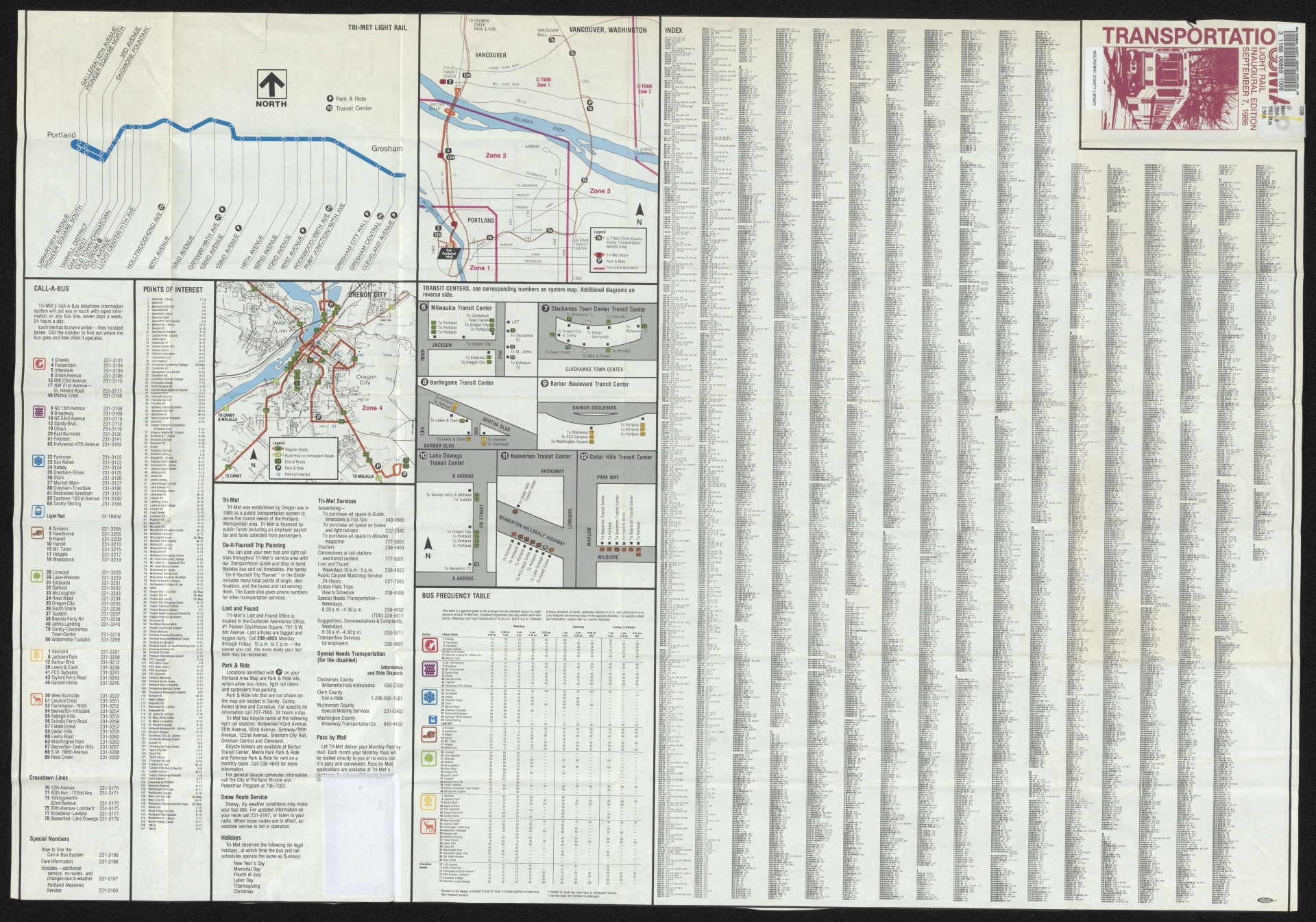
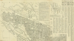
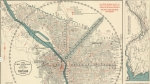
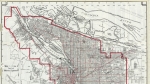
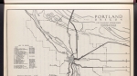
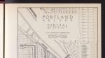
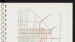
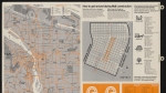
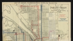
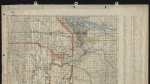
Map dated September 7, 1986, illustrating the route of the region's first light rail line, running from downtown Portland to downtown Gresham. The map is intended for general transit users, and includes bus routes and information about other types of transportation infrastructure. The map shows the TriMet service area divided into seven sectors, each with a colored icon: blue snowflake, brown beaver, etc. Inset maps feature the downtown Portland transit mall, a diagram of stops on the new light rail line, and plans of the 12 regional transit centers. When additional light rail lines were added in later years, each new route was given a color designation, and the original line came to be known as the Blue Line MAX.
Related content
Collections with this item
Details
Transcription
Extent
- 2 images
Contributors
Digital Publisher
Subject.Topic
Subject.Place
Language
Rights & Usage
Rights undetermined (the copyright and related rights status of this work is unknown).
Identifier
- XXmap_000040
Type
Date.Created
September 7, 1986
Date.Range
Format.Original
File format
Shelf.Location
- OREGON MAP 388.4 T823tm 1986
Add new comment