Description
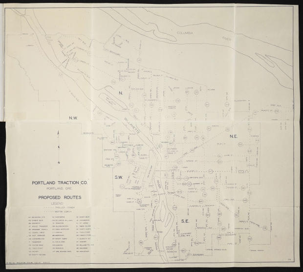
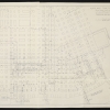
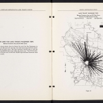
Two maps from a transportation planning report dated 1948, showing proposed routes for trolley coaches (electric buses) and motor coaches (gasoline-powered buses). The first map shows bus lines throughout the greater Portland area, including a line to the city of Vanport, north of city limits near the Columbia River. It has a revision date of August 6, 1947, less than a year before Vanport was destroyed by a flood. The second map focuses on bus routes in the city center, and has a revision date of January 21, 1948.
Download Files
Collections with this item
Details
Contributors
Digital Publisher
Subject.Topic
Subject.Place
Language
Rights & Usage
Rights undetermined (the copyright and related rights status of this work is unknown).
Identifier
- XXmap_000111
Type
Date.Range
Format.Original
File format
Shelf.Location
- OREGON 388.4 P86


Add new comment