
Description
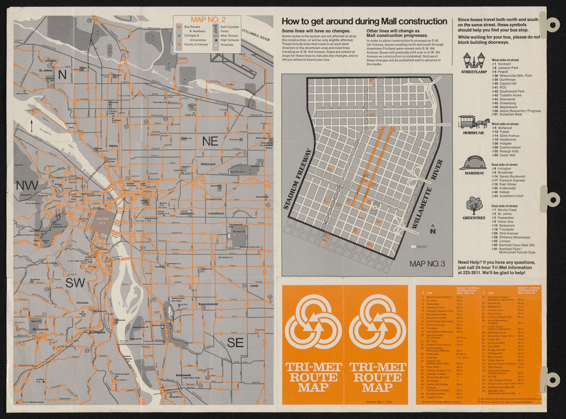
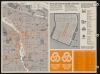
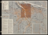
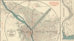
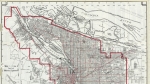
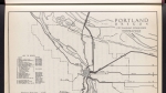
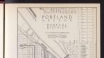
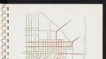
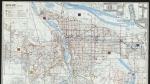
Regional bus map dated May 1, 1976. The map was created to guide transit users during construction of the downtown Portland bus mall on SW 5th and 6th avenues. A panel labelled Map No. 3 shows the downtown core, with the new bus mall highlighted. A note explains that during construction on SW 5th Ave., all buses ran on SW 6th Ave. Four icons are shown, to help riders identify their bus stop: street lamp, horsecar, hard hat and green tree.
Download Files
Related content
Collections with this item
Details
Extent
- 2 images
Digital Publisher
Subject.Topic
Subject.Place
Language
Rights & Usage
Rights undetermined (the copyright and related rights status of this work is unknown).
Identifier
- XXmap_000066
Type
Date.Created
May 1, 1976
Date.Range
Format.Original
File format
Shelf.Location
- bound in a folder with Portland maps 1960- ; twelfth sheet
Add new comment