Description
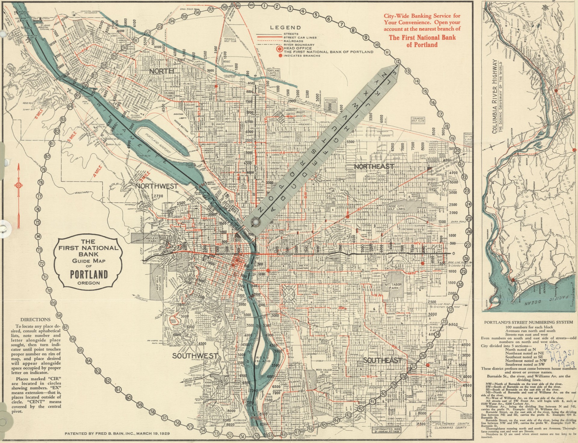
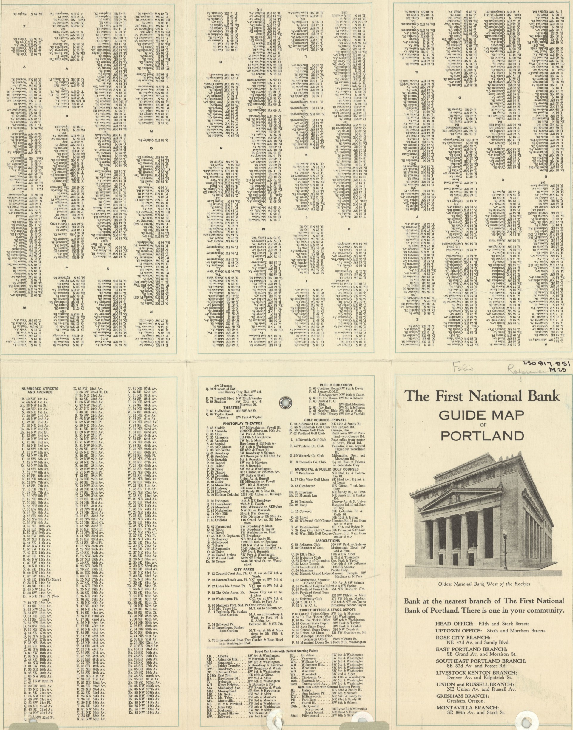
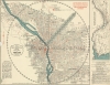
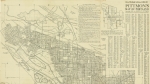
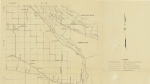
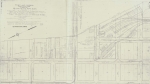
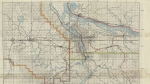
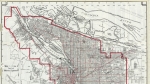
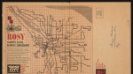
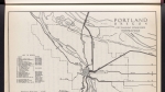
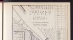
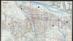
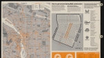
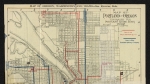
Map of Portland dated 1933, with city limits, streetcar and bus lines marked. Details of bus and streetcar routes are outlined on the back of the map, together with other orienteering information. The map also explains the city's street numbering system, which was new at the time the map was created. An inset map shows the route of the Columbia River Highway, from Astoria to Hood River. The map features an unusual wayfinding mechanism: a cardboard pointer secured with a rivet can be used to find locations using letter and number codes.
Download Files
Related content
Collections with this item
Details
Extent
- 2 images
Digital Publisher
Subject.Topic
Subject.Place
Language
Rights & Usage
Rights undetermined (the copyright and related rights status of this work is unknown).
Identifier
- JWmap_000017
Add new comment