-
- Still Image
52nd route in p...
-
- Still Image
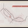
Freeway proposa...
-
- Still Image
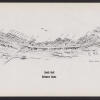
South unit Dela...
-
- Still Image
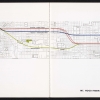
Mt. Hood Freewa...
-

- Still Image
North unit Minn...
-
- Still Image
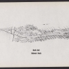
North unit Dela...
-
- Still Image
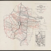
PVMTS transport...
-
- Still Image
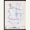
Proposed inner...
-
- Still Image
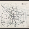
Swan Island - M...
-
- Still Image
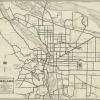
General route m...
-

- Still Image
North unit Minn...
-
- Still Image
South unit Minn...
Pages
Description
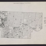
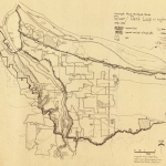
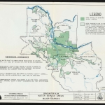
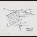
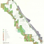
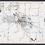
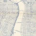
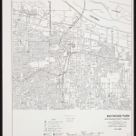
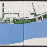
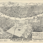
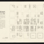
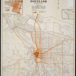
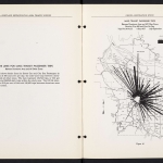
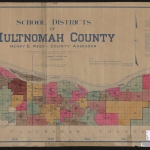
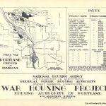
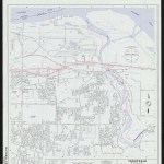
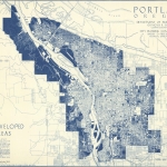
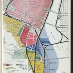
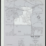
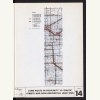
The freeway-building era in Oregon began in earnest after the Second World War. From the late 1940s through the 1970s, state and local government agencies, advocacy organizations and private citizens weighed in on a variety of issues related to freeway planning, and many of them published maps.
Physical copies of many items in this collection are held by Multnomah County Library. However, the library does not hold the copyright to these items. Copyright usually resides with the creator(s) of the items. Any information about copyright for items in this collection will be noted in the metadata and Rights & Usage field for each item.
The copyright law of the United States (Title 17, United States Code) governs the making of photocopies or other reproductions of copyrighted material. It is the responsibility of any users of this digital collection to determine whether their intended use of an item is acceptable under copyright law.
If you are a copyright holder for an item on this website that is not properly identified, please contact us. When contacting us about an item in this collection, please include the identifier for the item (e.g., XXmap_000041).

