Description
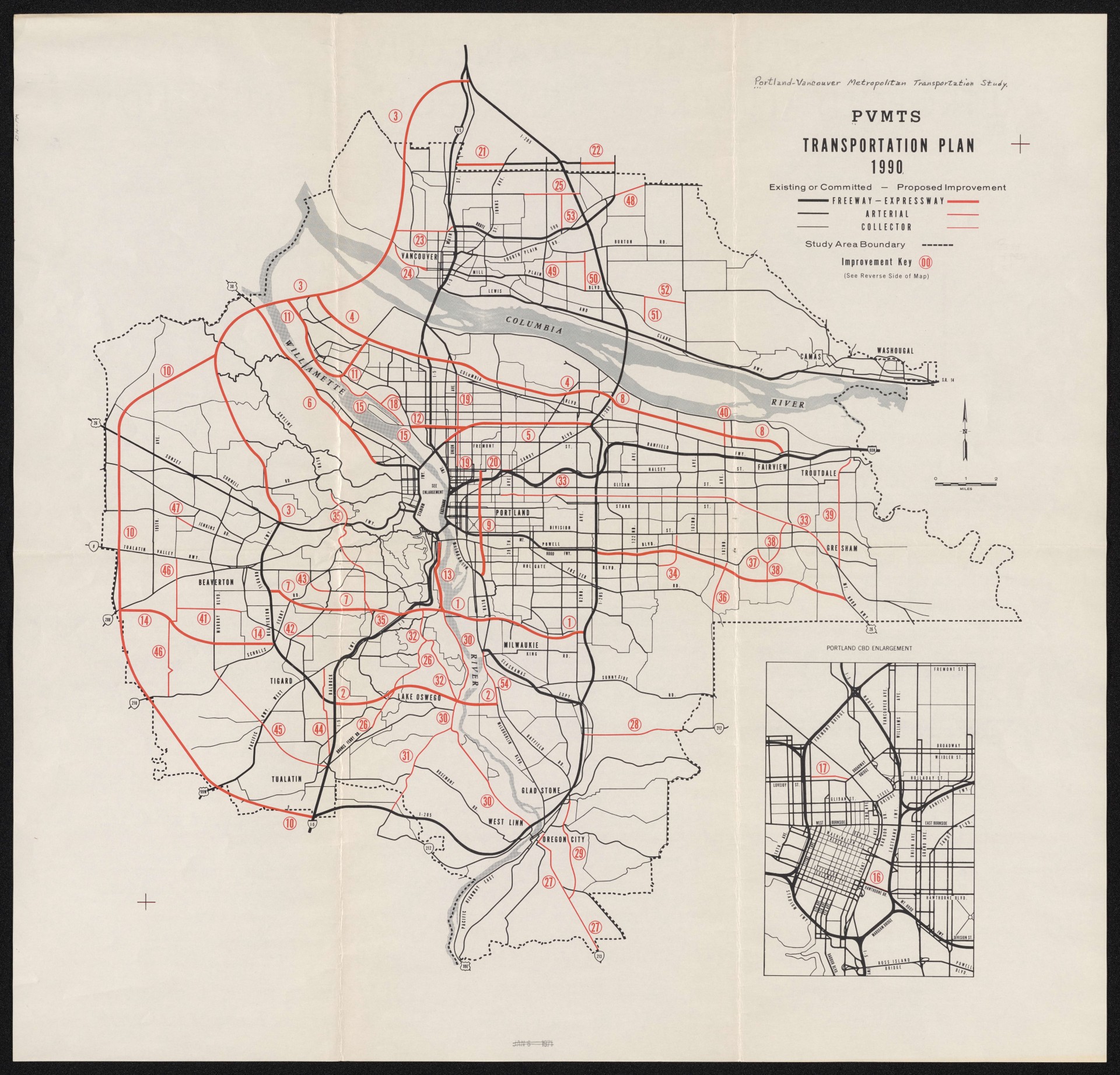
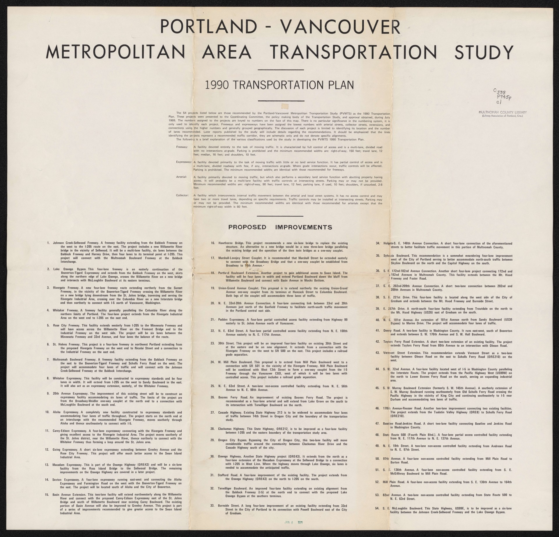
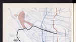
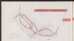
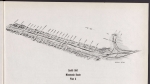
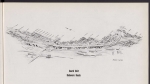
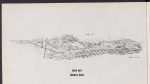
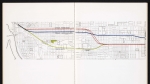
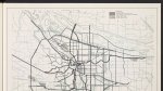
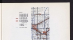
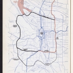
Map showing existing and proposed freeways, arterial roads and surface streets in the Portland-Vancouver metropolitan area. Red lines represent projects recommended to the Coordinating Committee of the Transportation Study and approved during July 1969. Committed freeways are marked in black, some of which were built, and others were not. Notably, the Mt. Hood Freeway along SE Division and Powell was never constructed. Most of the other major projects were never built: for example, one recommendation was to replace the 1910 Hawthorne Bridge with a new six-lane bridge, or a new three-lane bridge paralleling the existing bridge. The back of the map lists the 54 approved projects that are shown on the front.
Download Files
Related content


Collections with this item
Details
Extent
- 2 pages
Contributors
Digital Publisher
Subject.Topic
Subject.Place
Language
Rights & Usage
Rights undetermined (the copyright and related rights status of this work is unknown).
Identifier
- XXmap_000109
Type
Date.Range
Format.Original
File format
Shelf.Location
- OREGON MAP 388 P945p 1969
Add new comment