Description
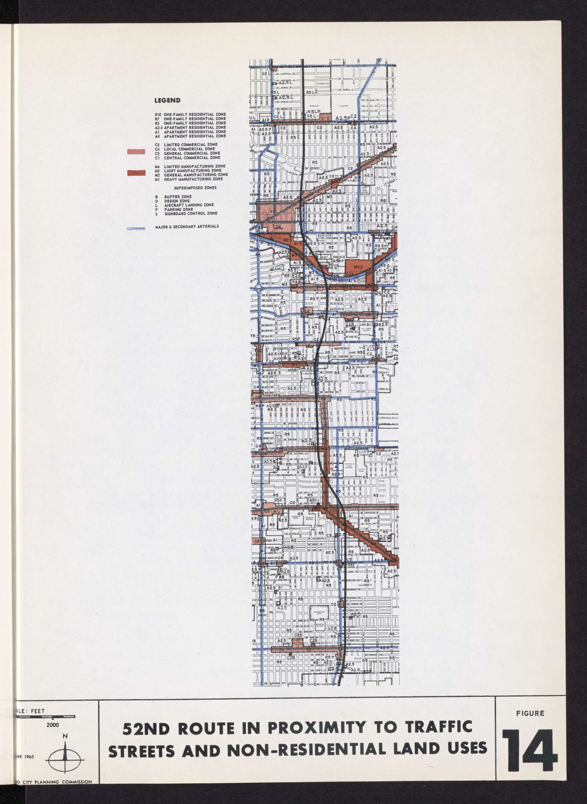
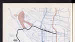
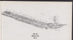
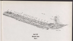
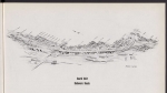
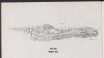
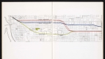
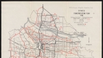
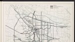
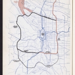
Map from a February 1965 Portland City Planning Commission report advocating for building the I-205 freeway along SE and NE 52nd Ave. in Portland, rather than further east or west. Land use zones are shown on the map.
Download Files

Related content


Collections with this item
Details
Transcription
Contributors
Digital Publisher
Subject.Topic
Subject.Place
Language
Rights & Usage
Rights undetermined (the copyright and related rights status of this work is unknown).
Identifier
- XXmap_000126
Type
Date.Range
Format.Original
File format
Shelf.Location
- OREGON 388.1 P85i
Add new comment