Description
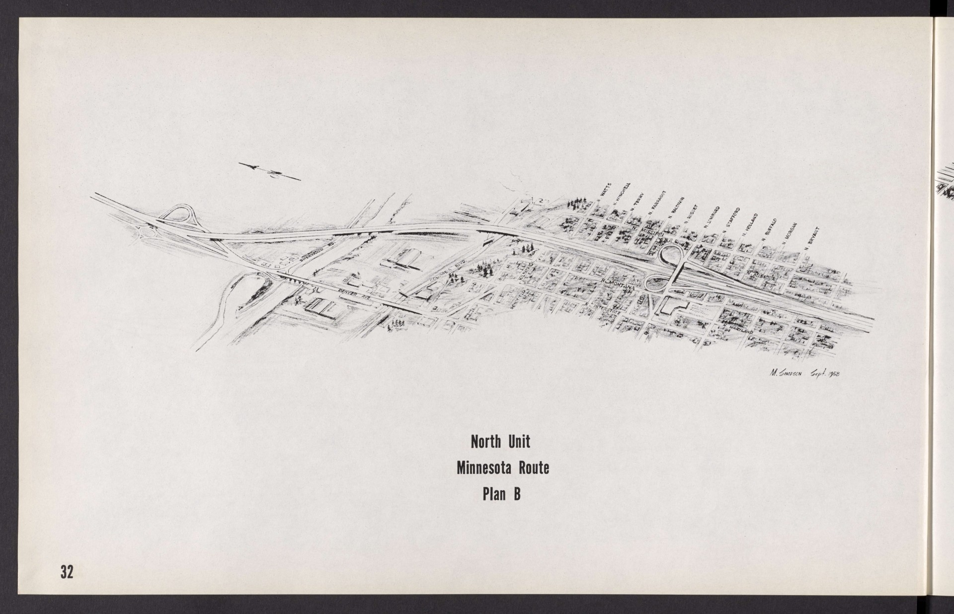
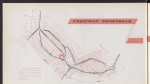
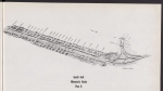
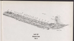
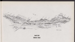
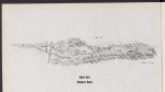
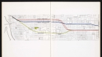
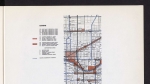
Plan from an August 1958 technical report proposing possible routes for the Interstate Freeway (I-5). The plan is a detailed birds-eye view of the proposed Minnesota route, plan B for the I-5 freeway, from the Columbia River south to N Dekum St. (Dekum, a few blocks south of N Bryant St., is not labelled on the map.) Three routes were suggested in the report: one along N Delaware Ave., and two options along N Minnesota Ave. The freeway was eventually built using this plan: Minnesota Route, plan B. The routes of the two Minnesota plans are identical, but each of them manages interchanges and overpasses differently.
Download Files
Related content


Collections with this item
Details
Creator
Transcription
Contributors
Digital Publisher
Subject.Topic
Subject.Place
Language
Rights & Usage
Rights undetermined (the copyright and related rights status of this work is unknown).
Identifier
- XXmap_000132
Add new comment