-
- Still Image
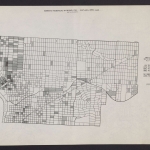
Exhibit no. 1:...
-
- Still Image
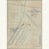
Plan of St. Joh...
-
- Still Image
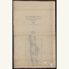
The upper Willa...
-
- Still Image
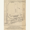
Plan of Municip...
-
- Still Image
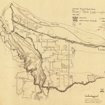
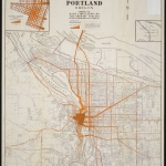
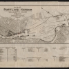
Map of Portland...
-
- Still Image
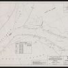
Willamette Rive...
-
- Still Image
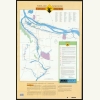
Portland Vancou...
-
- Still Image
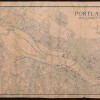
Portland Harbor...
-
- Still Image
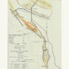
Proposed plans...
-
- Still Image
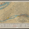
Industrial map...
-
- Still Image
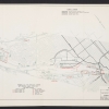
Terminals in Po...
-
- Still Image
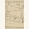
Plan of Municip...
Pages
Description
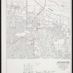
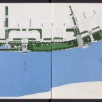
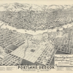
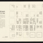
The Willamette River was Portland’s first industrial area. When settlers began to build communities along the Willamette in the mid-1800s, the cheapest and most efficient way to transport goods in and out of the city was by water, on the Willamette and Columbia rivers. And the harbor’s influence has continued through every era since: ships, ferries, wharves, docks, bridges and even waterside parks have all played important roles in the development of the city itself, and of local commerce and civic life.
Physical copies of many items in this collection are held by Multnomah County Library. However, the library does not hold the copyright to these items. Copyright usually resides with the creator(s) of the items. Any information about copyright for items in this collection will be noted in the metadata and Rights & Usage field for each item.
The copyright law of the United States (Title 17, United States Code) governs the making of photocopies or other reproductions of copyrighted material. It is the responsibility of any users of this digital collection to determine whether their intended use of an item is acceptable under copyright law.
If you are a copyright holder for an item on this website that is not properly identified, please contact us. When contacting us about an item in this collection, please include the identifier for the item (e.g., XXmap_000041).

