Description
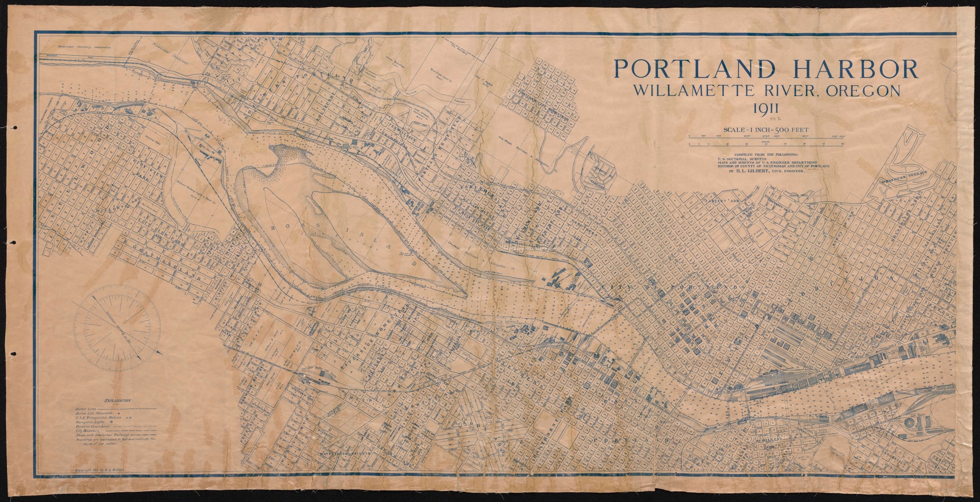
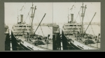
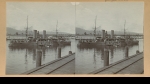
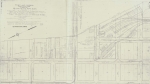
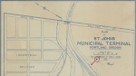
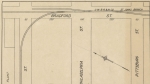
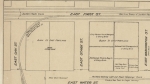
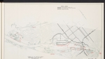
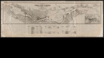
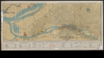
Detailed map of Portland harbor and its surroundings, dated 1911. The map focuses on the Willamette River from the Clackamas County line to the Albina Yards in North Portland. Shows streetcars, interurban and industrial railroad lines, railroad yards, harbor soundings, names of major buildings and plat names. Three ferries are indicated. One runs from Sellwood's Spokane Ave. to the Riverview Cemetery. Two are in the Albina neighborhood: one from Albina Ave. to Front and Pettygrove streets, and one from Randolph and River streets to 17th and Front streets on the west side. The Hawthorne, Morrison, Burnside and Steel bridges are also shown. An outline indicates the future location of the Broadway Bridge (which was built a few years later, in 1913). The map appears to be part or half of a larger work, which presumably would have shown the northern section of the Willamette, from Albina to the Columbia River.
Download Files

Related content

Collections with this item

Details
Creator
Transcription
Digital Publisher
Subject.Topic
Subject.Place
Language
Rights & Usage
Public domain (this work is believed to be free of known restrictions under copyright law).
Identifier
- XXmap_000020
Type
Date.Range
Format.Original
File format
Shelf.Location
- OREGON MAP 627.3 G464p 1911
Add new comment