-

- Still Image
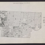
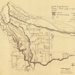
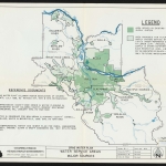
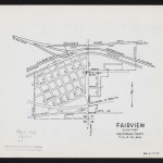
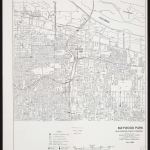
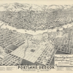
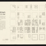
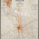
North district
-
- Still Image
Multnomah Count...
-
- Still Image
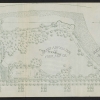
Preliminary pla...
-
- Still Image
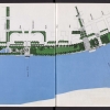
Three year plan...
-
- Still Image
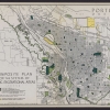
Composite plan...
-
- Still Image
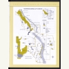
Northwest/centr...
-
- Still Image
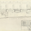
Waterfront -- H...
-

- Still Image
Southeast distr...
-
- Still Image
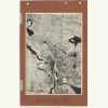
Block plan of p...
-

- Still Image
Outer east dist...
-
- Still Image
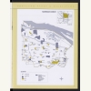
Northeast distr...
-
- Still Image
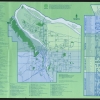
Portland parks:...
Pages
Description
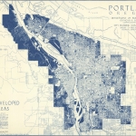
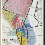
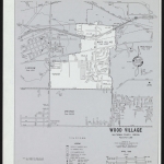
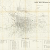
The first parks in Multnomah County were established in the 1850s, in what is now downtown Portland. Over time, the urban population shifted east, and new parks were needed for the new neighborhoods. However, through about 1900, most parkland was donated by wealthy landowners, usually in wealthy neighborhoods. These early parks did a poor job of serving less-affluent residents. In the years since, local governments throughout Multnomah County have continued to struggle with the challenge of building enough new parks to meet the full needs of urban and suburban residents.
Maps of Forest Park are in a separate collection.
Physical copies of many items in this collection are held by Multnomah County Library. However, the library does not hold the copyright to these items. Copyright usually resides with the creator(s) of the items. Any information about copyright for items in this collection will be noted in the metadata and Rights & Usage field for each item.
The copyright law of the United States (Title 17, United States Code) governs the making of photocopies or other reproductions of copyrighted material. It is the responsibility of any users of this digital collection to determine whether their intended use of an item is acceptable under copyright law.
If you are a copyright holder for an item on this website that is not properly identified, please contact us. When contacting us about an item in this collection, please include the identifier for the item (e.g., XXmap_000041).

