Description
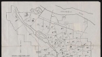
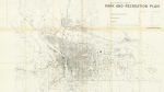
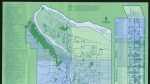
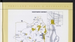
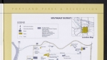
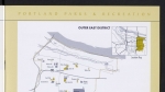
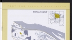
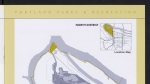
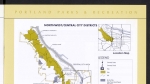
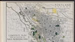
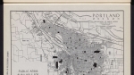
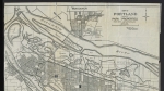
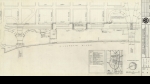
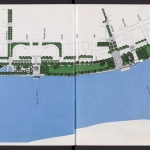
Map dated November 1, 1928, showing the location, outline and acreage of Portland city parks. A note lists parks that are outside city limits: Crown Point, Benson, McLoughlin and Shepperd's Dell parks. Visit City of Portland Archives for more https://efiles.portlandoregon.gov/record/16620
Related content


Collections with this item
Details
Contributors
Digital Publisher
Subject.Topic
Subject.Place
Language
Rights & Usage
Public domain (this work is believed to be free of known restrictions under copyright law).
Identifier
- PUmap_000005
Type
Date.Created
November 1, 1928
Date.Range
Format.Original
File format
Shelf.Location
- A2013-007, M/10301
Add new comment