
Description
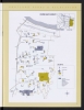
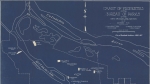
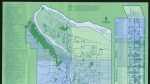
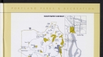
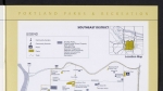
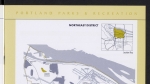
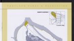
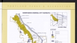
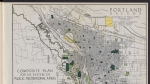
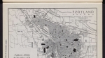
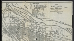
Map from a 2001 planning report, showing existing Portland Parks Bureau-owned parks in Northeast and Southeast Portland east of the I-205 freeway. The map also shows community schools, community centers, swimming pools, trails and parks/open space administered by other agencies.
Download Files
Related content


Collections with this item
Details
Transcription
Contributors
Digital Publisher
Subject.Topic
Subject.Place
Language
Rights & Usage
Rights undetermined (the copyright and related rights status of this work is unknown).
Identifier
- XXmap_000185
Type
Date.Range
Format.Original
File format
Shelf.Location
- OREGON 352.732 P852pv 2001
Add new comment