Description
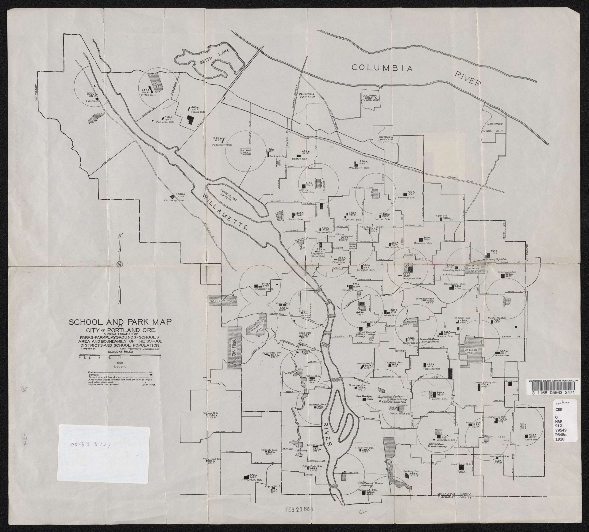
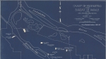
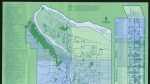
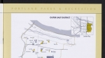
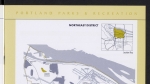
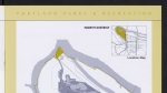
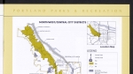
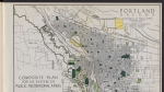
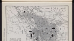
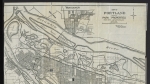
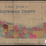
Map dated 1928, showing the location of each school in Portland's School District No. 1 -- now Portland Public Schools. High schools are not shown. The map also shows public parks and playgrounds. Circles are drawn to show a half-mile radius around each playground. The map has been hand-annotated to show locations of some public libraries.
Download Files
Related content


Collections with this item
Details
Transcription
Contributors
Digital Publisher
Subject.Topic
Subject.Place
Language
Rights & Usage
Public domain (this work is believed to be free of known restrictions under copyright law).
Identifier
- XXmap_000079
Type
Date.Created
November 13, 1928
Date.Range
Format.Original
File format
Shelf.Location
- OREGON 711 P83 1929
Add new comment