Description
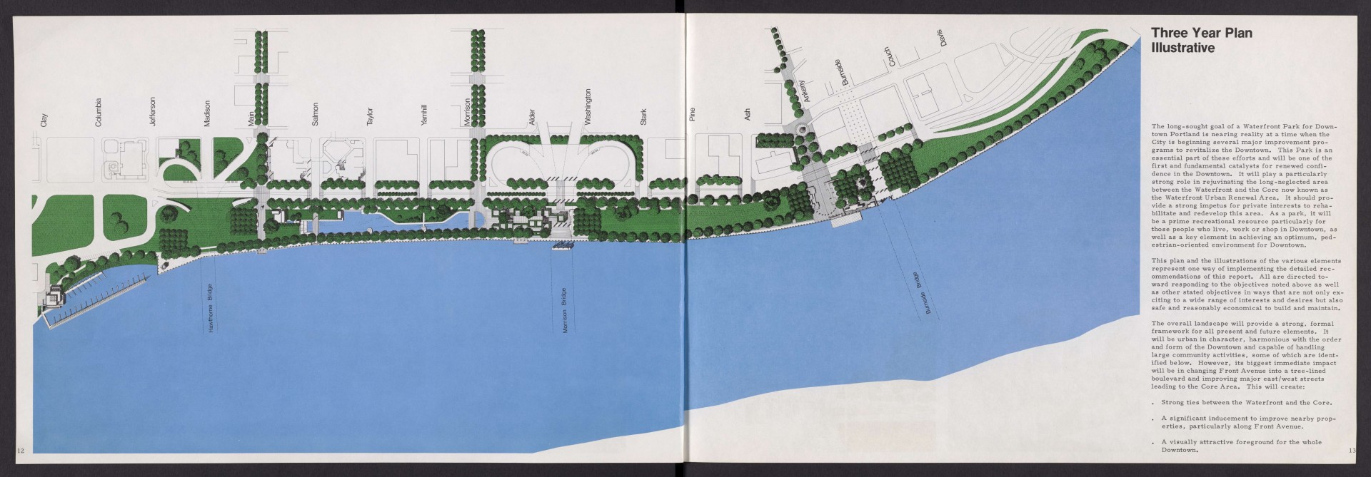
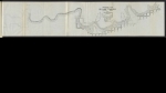
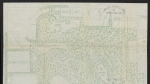
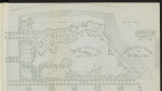
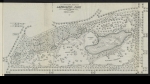
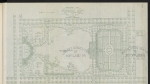
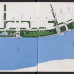
Map from a report dated August, 1975, showing planned development of a waterfront park in downtown Portland. The map depicts the new park along the west side of the Willamette River, from just south of the Hawthorne Bridge to the Steel Bridge -- the area which had previously been occupied by Harbor Drive. While many elements shown on this map were never built, the park was completed and opened to the public in 1978.
Download Files
Related content
Collections with this item
Details
Transcription
Extent
- 2 pages
Digital Publisher
Subject.Topic
Subject.Place
Language
Rights & Usage
Rights undetermined (the copyright and related rights status of this work is unknown).
Identifier
- XXmap_000153
Type
Date.Range
Format.Original
File format
Shelf.Location
- OREGON 711 W855d
Add new comment