Description
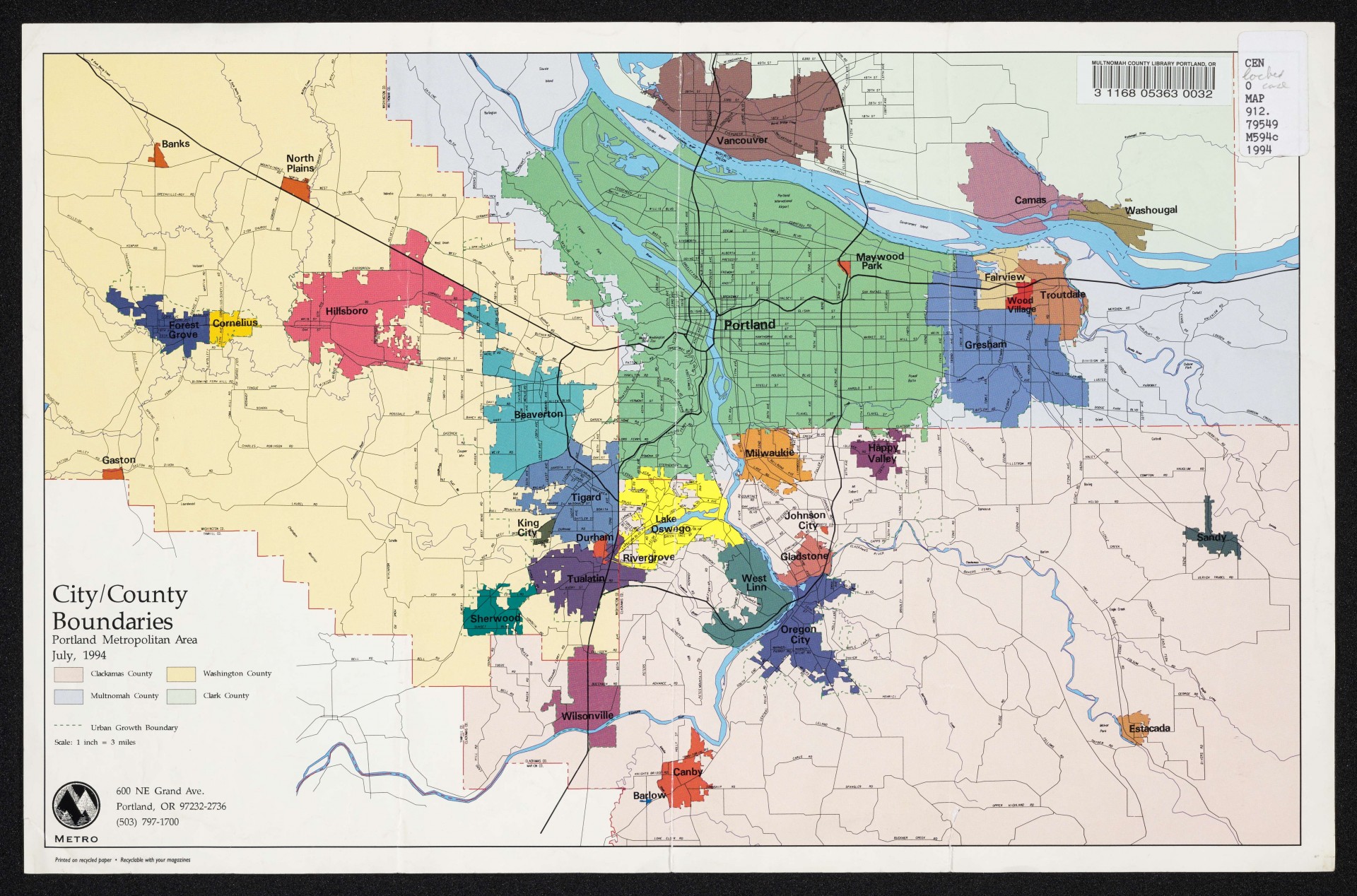
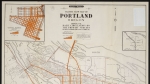
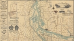
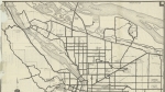
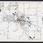
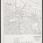
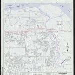
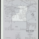
Map of the Portland metropolitan area as of July 1994, showing city and county boundaries in various colors. Metro's urban growth boundary is marked with a dotted green line. Lakes, rivers and some larger streams are also noted on the map.
Download Files
Related content

Collections with this item

Details
Transcription
Contributors
Digital Publisher
Subject.Topic
Subject.Place
Language
Rights & Usage
Rights undetermined (the copyright and related rights status of this work is unknown).
Identifier
- XXmap_000038
Type
Date.Range
Format.Original
File format
Shelf.Location
- OREGON MAP 912.79549 M594c 1994
Add new comment