Description
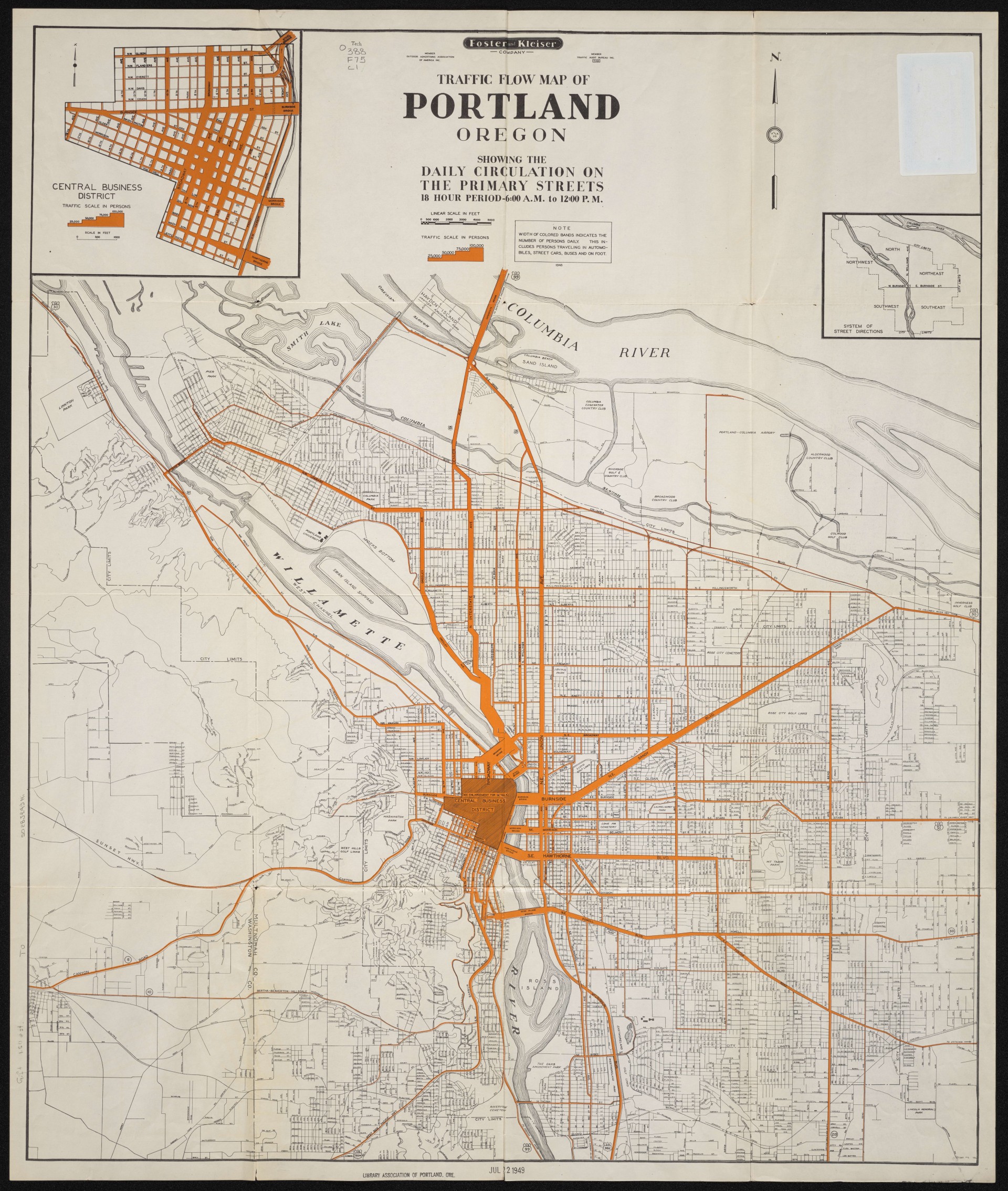
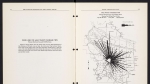
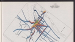
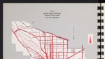
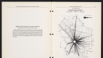
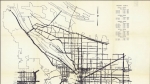
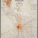
Map dated 1948, showing daily traffic on Portland's primary streets, including people traveling by automobile, on streetcars or buses, and on foot. The city of Vanport is not shown on the map. Vanport, which was on the Columbia Slough, was destroyed by flood in May, 1948.
Download Files
Related content

Collections with this item
Details
Contributors
Digital Publisher
Subject.Topic
Subject.Place
Language
Rights & Usage
Rights undetermined (the copyright and related rights status of this work is unknown).
Identifier
- XXmap_000017
Type
Date.Range
Format.Original
File format
Shelf.Location
- OREGON 388 F75
Add new comment