
Description
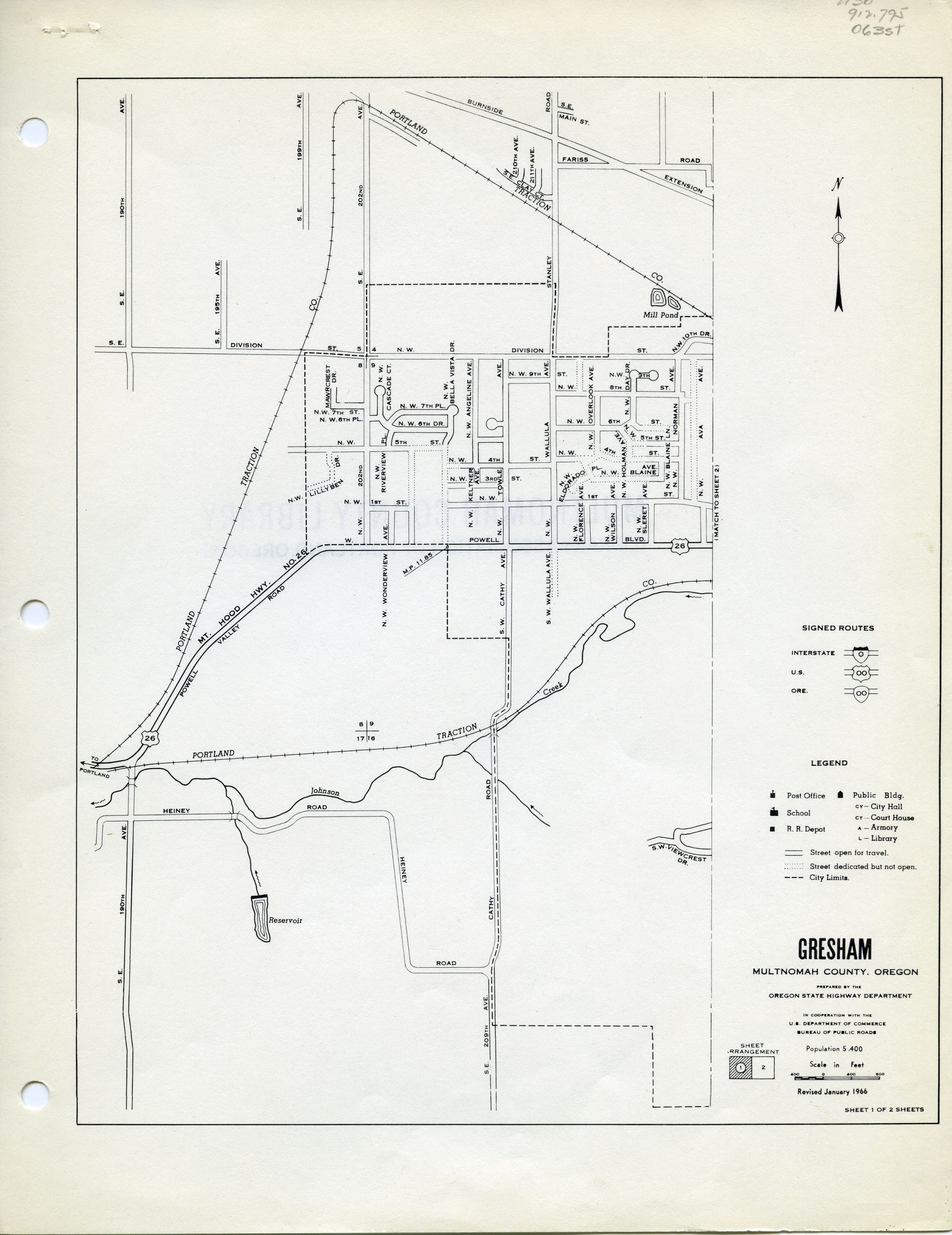
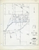
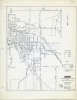
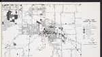
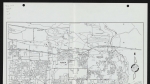
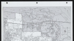
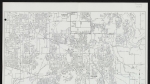
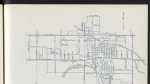
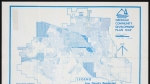
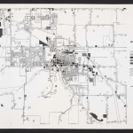
A two-part map of Gresham, Oregon dated January 1966. The map shows street names, city limits, and section numbers. Johnson Creek appears along the southern edge of the city. Portland Traction Co. railroad lines are shown (these later became the Springwater Corridor multi-use path and the route of TriMet's Blue Line MAX light rail). The Multnomah County Fairgrounds can be seen on sheet 2.
Download Files
Related content
Collections with this item
Details
Creator
Extent
- 2 images
Contributors
Digital Publisher
Subject.Topic
Subject.Place
Language
Rights & Usage
Rights undetermined (the copyright and related rights status of this work is unknown).
Identifier
- XXmap_000056
Type
Date.Range
Format.Original
File format
Shelf.Location
- OREGON MAP 912.795 O63st apx. v. 2
Add new comment