Description
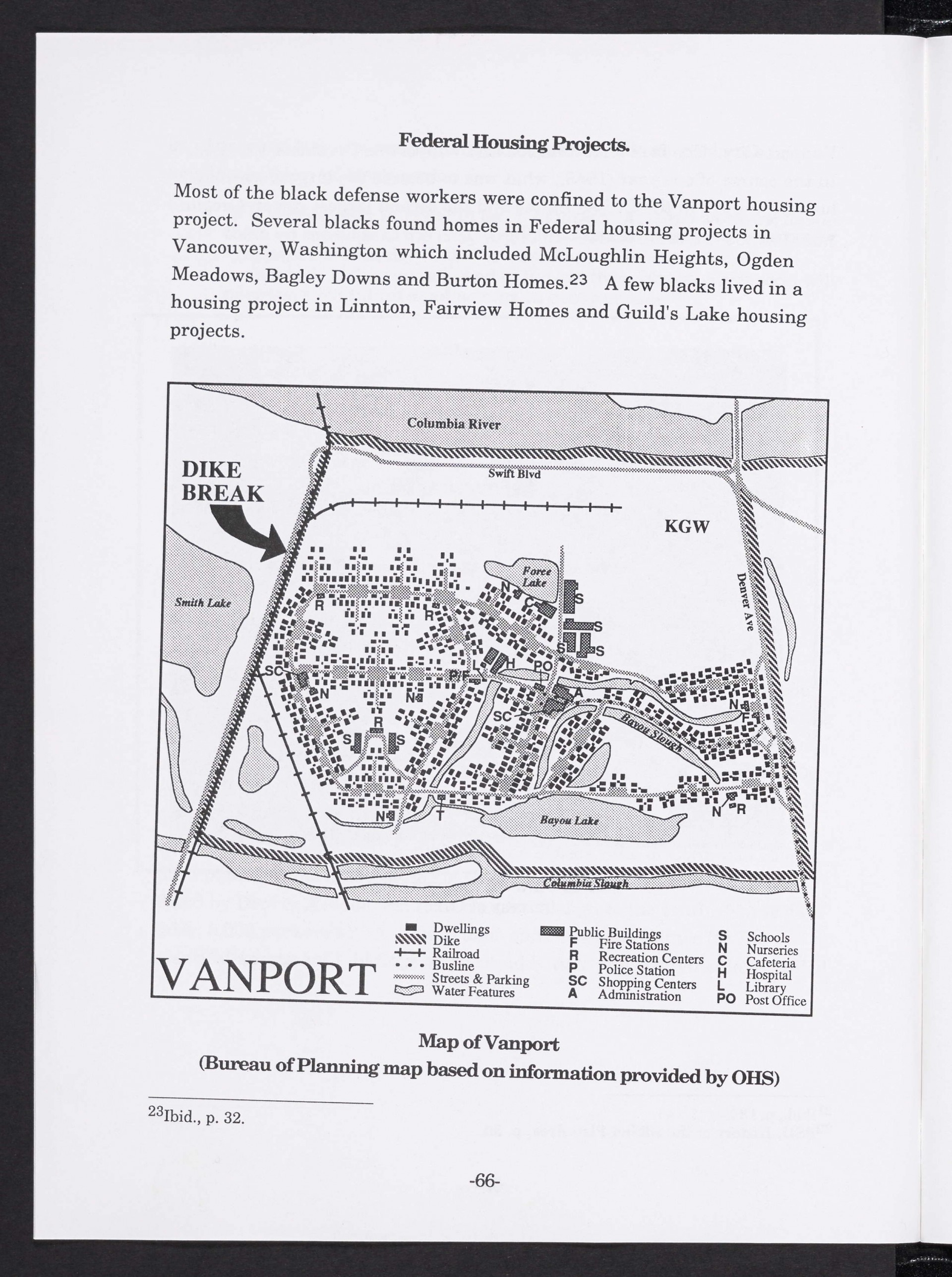
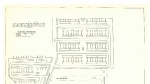
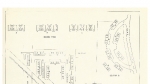
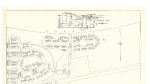
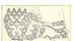
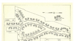
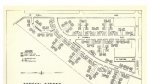
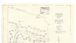
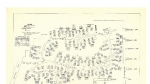
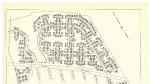
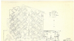
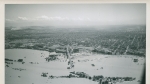
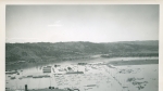
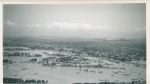
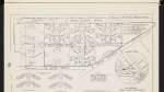
Map from a history of Portland's Black community, published by the city's Planning Bureau in 1993. The map features the dikes that surrounded the city on all sides, and an arrow points to the spot where the dike broke on May 30, 1948. The ensuing flood destroyed Vanport and it was never rebuilt. The city's population declined after the close of the Second World War, and many of the residents who stayed were African Americans who faced difficulty in finding housing in other parts of the Portland area. The map also shows Vanport's public buildings and infrastructure such as schools, shopping centers, the fire station, the library, etc.
Download Files
Related content


Collections with this item
Details
Transcription
Contributors
Digital Publisher
Subject.Topic
Subject.Place
Language
Rights & Usage
Rights undetermined (the copyright and related rights status of this work is unknown).
Identifier
- XXmap_000115
Type
Date.Range
Format.Original
File format
Shelf.Location
- OREGON 979.5004 H673
Add new comment