Description
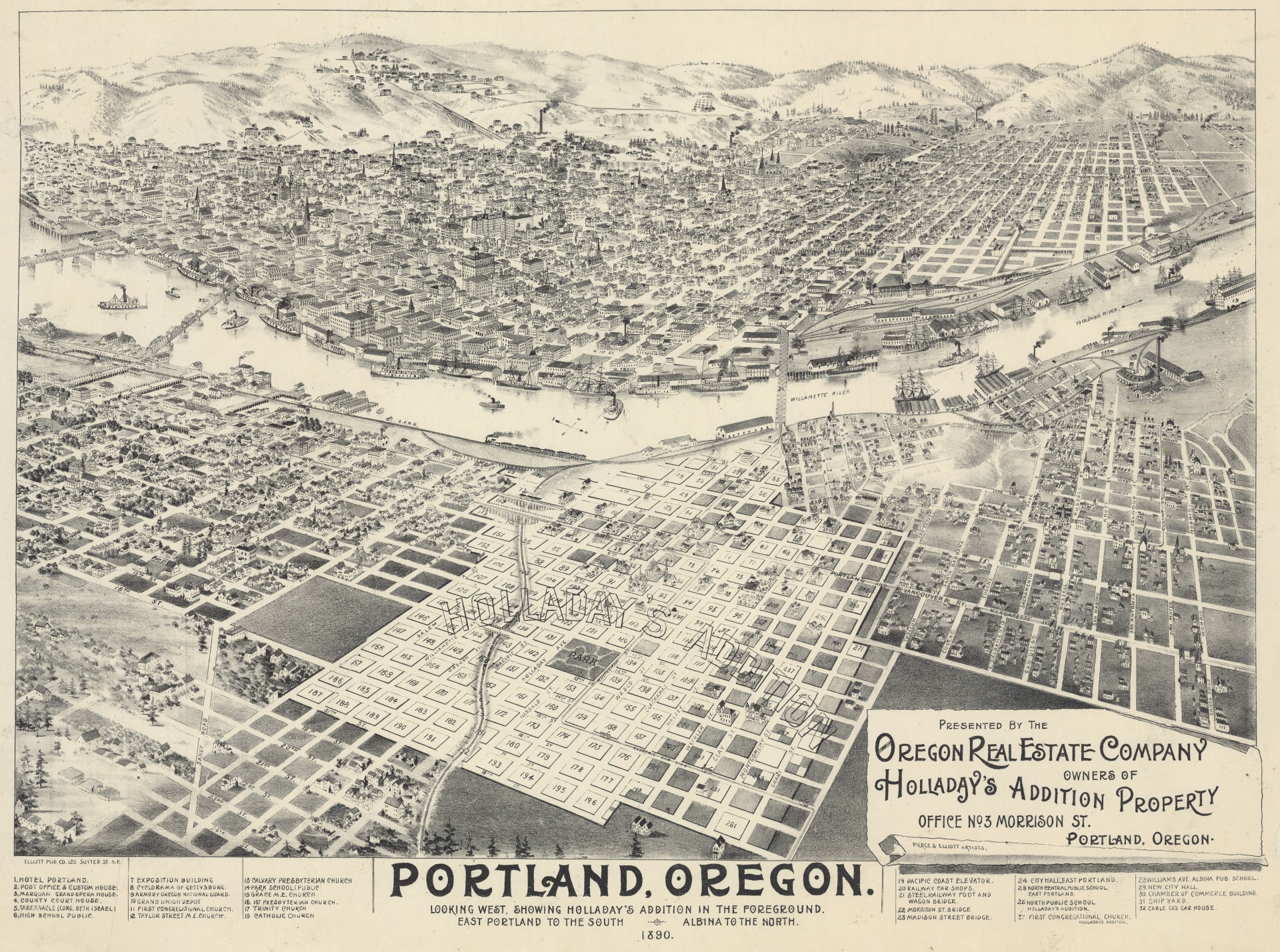
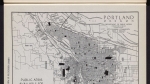
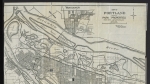
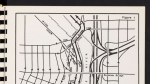
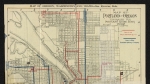
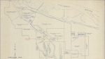
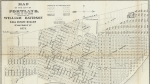
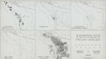
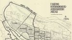
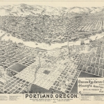
Map dated 1890, created to promote Holladay's Addition, with lots for sale by the Oregon Real Estate Company. Portland is shown in the distance, across the Willamette River. Holladay's Addition is in the city of East Portland, which extends to the left on this map. The city of Albina is shown on the right. The map illustrates the development of transportation infrastructure by 1890. Railroad lines are labeled on the map; one line is shown running through Sullivan's Gulch. The Steel, Morrison and Madison Street bridges cross the Willamette River; all three bridges were subsequently replaced, and the Madison Street Bridge was renamed after Hawthorne Blvd. Several streetcar lines are shown on the map, including a few that run through Holladay's Addition. Street names are noted on the map, though some streets have since been renamed.
Download Files
Related content


Collections with this item
Details
Creator
Contributors
Digital Publisher
Subject.Topic
Subject.Place
Language
Rights & Usage
Public domain (this work is believed to be free of known restrictions under copyright law).
Identifier
- JWmap_000004
Type
Date.Range
Format.Original
File format
Shelf.Location
- OREGON 912.7954 P852
Add new comment