Description
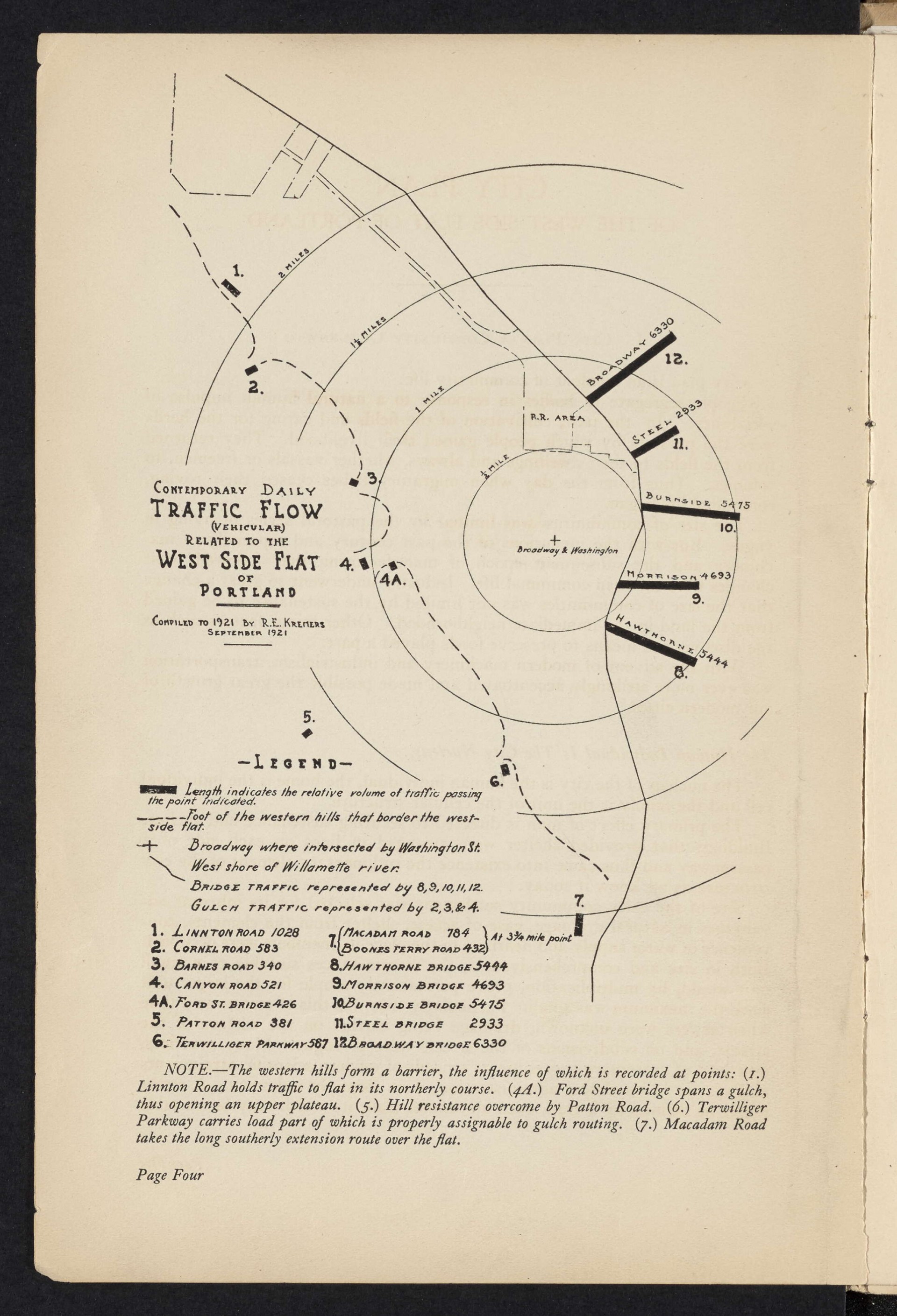
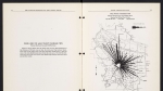
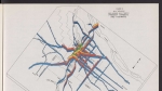
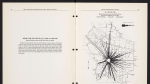
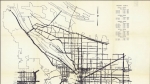
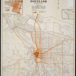
Map dated September 1921, showing daily vehicular traffic volume over Willamette River bridges, and over major roads that cross Portland's West Hills.
Download Files
Related content

Collections with this item
Details
Creator
Transcription
Contributors
Digital Publisher
Subject.Topic
Subject.Place
Language
Rights & Usage
Public domain (this work is believed to be free of known restrictions under copyright law).
Identifier
- XXmap_000080
Type
Date.Range
Format.Original
File format
Shelf.Location
- OREGON 710 C58
Add new comment