Description
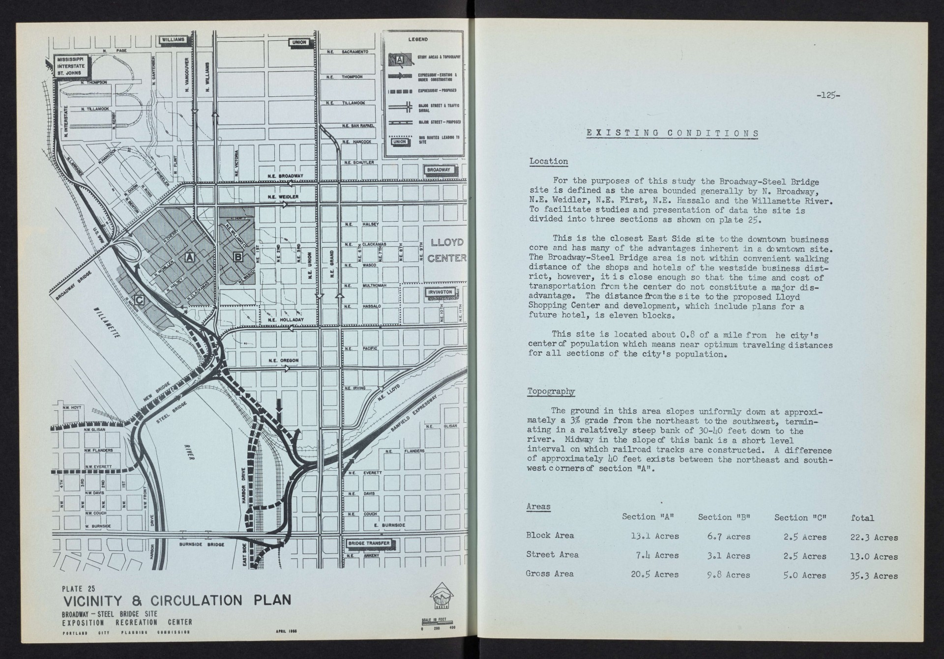
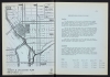
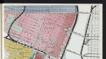
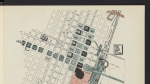
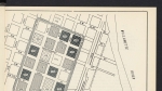
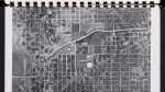
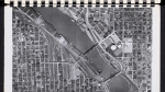
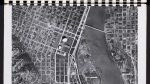
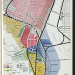
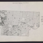
Map, dated April 1955, of existing and proposed road transportation and bus routes around the Broadway-Steel Bridge site of a planned Exposition-Recreation Center. The map shows topography, streets and freeways, and some bus routes. This is the site that was eventually chosen for the Exposition-Recreation Center, now known as the Veterans Memorial Coliseum. More than 200 African American families, a sizeable part of the city's Black population, were displaced by the development.
Download Files
Related content

Collections with this item
Details
Transcription
Extent
- 2 pages
Contributors
Digital Publisher
Subject.Topic
Subject.Place
Language
Rights & Usage
Rights undetermined (the copyright and related rights status of this work is unknown).
Identifier
- XXmap_000090
Type
Date.Range
Format.Original
File format
Shelf.Location
- OREGON 711 P83si
Add new comment