Description
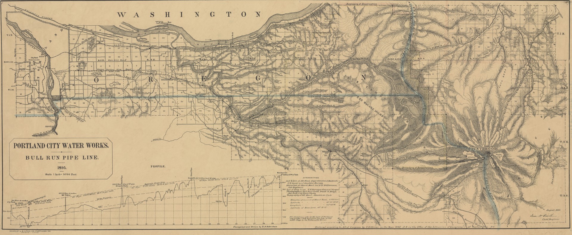
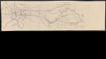
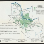
1895 map of Portland's water supply system, showing the boundaries of the Bull Run Reserve. The Bull Run pipeline is indicated on the main map, as are reservoirs, tanks and a pumping station. The pipeline profile is charted in an inset, with elevation to illustrate the gravity-flow system that brings water from the Bull Run River to the city of Portland. The map also shows rivers, lakes, creeks, post offices and cities throughout Multnomah County and around Mount Hood.
Download Files
Related content
Collections with this item
Details
Creator
Contributors
Digital Publisher
Subject.Place
Language
Rights & Usage
Public domain (this work is believed to be free of known restrictions under copyright law).
Identifier
- JWmap_000009
Type
Date.Range
Format.Original
File format
Shelf.Location
- OREGON 912.1628 H114b
Add new comment