Description
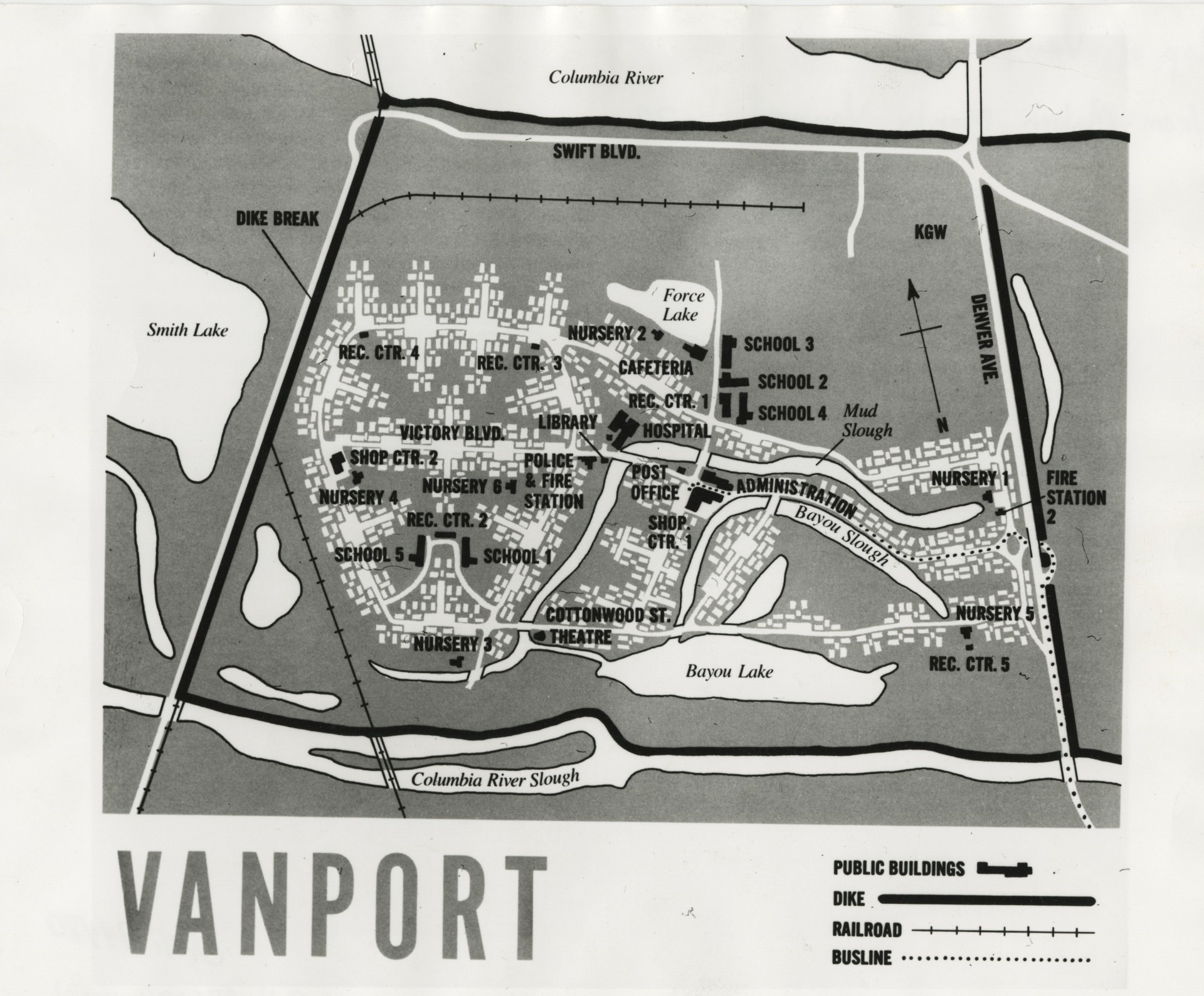
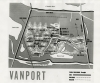
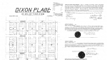
This foldout map of Vanport, along with a booklet of services and rules of conduct, was provided to all new residents. Vanport was built to house employees of the Kaiser Shipyards during World War II and was eventually managed by the Housing Authority of Portland. Vanport became the second most-populated city in Oregon, behind Portland. Learn more about Vanport from the Oregon Encyclopedia https://oregonencyclopedia.org/articles/vanport/#.WwnD_e4vxaQ
Download Files
Related content


Collections with this item

Details
Digital Publisher
Subject.Topic
Subject.Place
Language
Rights & Usage
In copyright. Used by permission of the copyright holder, who retains publication rights thereto. Use of resources from this collection beyond the exceptions provided for in the Fair Use and Educational Use clauses of the U.S. Copyright Law may violate federal law. The Oregon Historical Society is the owner of the materials in the Research Library and makes available reproductions for research, publication, and other uses. Written permission must be obtained from the Research Library before any reproduction use. The Society does not necessarily hold copyright to all of the materials in the collections. In some cases, permission for use may require seeking additional authorization from the copyright owners. Photographs Dept., Oregon Historical Society.
Identifier
- PUpic_001273
Type
Date.Range
Format.Original
File format
Shelf.Location
- OrHi 94480; Vanport collection, 1942-1948.; Mss 1413; accession 7592
Add new comment