Description
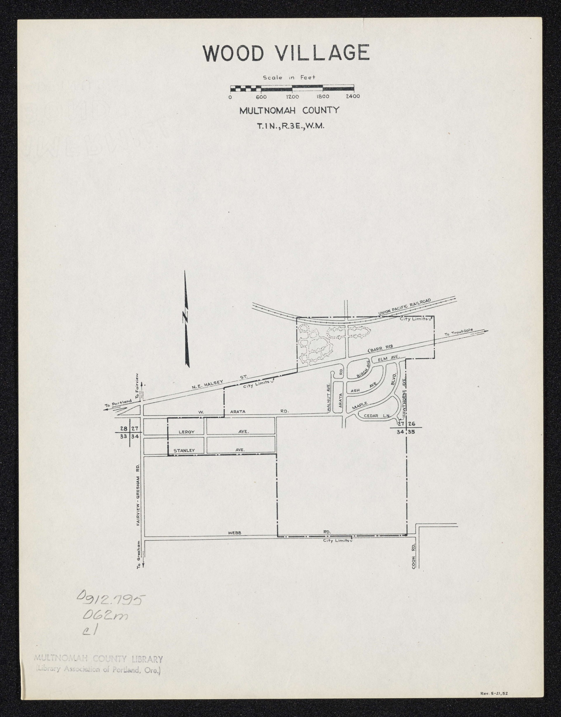
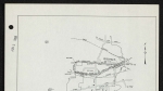
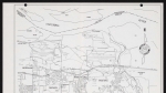
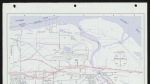
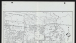
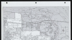
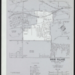
A map of Wood Village, Oregon, dated May 21, 1952, showing street names and city limits. Section lines and section numbers are also noted (the area covered in the map is within Township 1 North, Range 3 East, Willamette Meridian). A railroad line operated by the Union Pacific is also noted on the map.
Download Files
Related content

Collections with this item
Details
Contributors
Digital Publisher
Subject.Topic
Subject.Place
Language
Rights & Usage
Rights undetermined (the copyright and related rights status of this work is unknown).
Identifier
- XXmap_000052
Type
Date.Created
May 21, 1952
Date.Range
Format.Original
File format
Shelf.Location
- OREGON MAP 912.795 O62m
Add new comment