Description
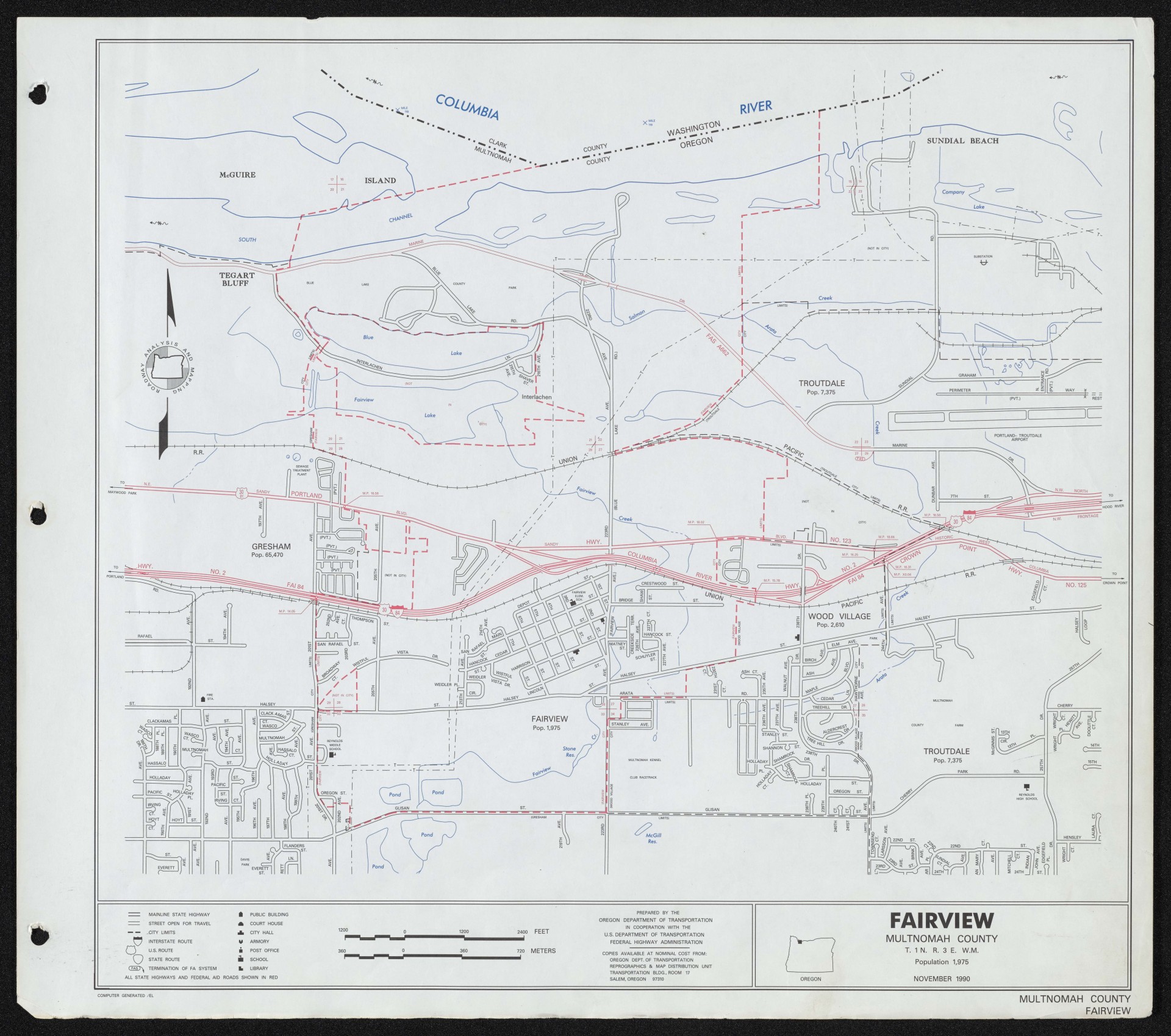
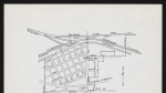
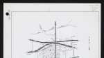
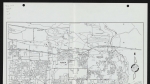
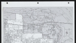
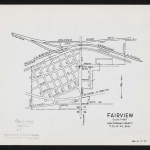
A map of Fairview, Oregon, dated November 1990. Street names and city limits are shown for Fairview, the neighboring city of Wood Village, and part of Troutdale. Section lines and section numbers are noted (the area covered in the map is all within Township 1 North, Range 3 East, Willamette Meridian). Several waterways appear in blue, including: Blue Lake, Fairview Lake, Columbia River, Fairview Creek, Arata Creek and Salmon Creek. Some public buildings are noted, and the map shows several railroad lines, all labelled Union Pacific R.R. Major roads appear in red: Columbia River Highway No. 2 (Interstate 84), Portland Highway No. 123 (Sandy Blvd.) and Crown Point Highway No. 125.
Download Files
Related content
Collections with this item
Details
Transcription
Contributors
Digital Publisher
Subject.Topic
Subject.Place
Language
Rights & Usage
Rights undetermined (the copyright and related rights status of this work is unknown).
Identifier
- XXmap_000096
Type
Date.Range
Format.Original
File format
Shelf.Location
- OREGON 912.795 O653
Add new comment